


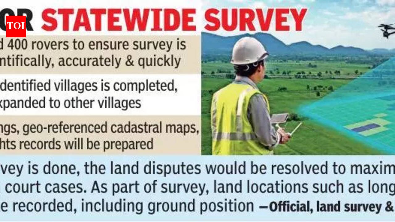
Hyderabad: To tackle long-pending land disputes and the absence of reliable village maps, the state govt is preparing to launch a large-scale scientific land survey in 373 villages across 25 districts. The initiative aims to create accurate digital land records and clearly map land boundaries using advanced technology, including rovers and drone-based surveys.For the exercise, the govt has already procured around 400 rovers to ensure the survey is completed scientifically, accurately and quickly. Once the work in the identified villages is completed, the survey will be expanded to other villages across the state in phases. Before rolling out the larger exercise, the government conducted a pilot project in five villages — Salarnagar in Gandid mandal in Mahbubnagar district, Kommanapally in Bheerpur mandal in Jagtial district, Mulugumada in Errupalem mandal in Khammam district, Nuguru in Venkatapuram mandal in Mulugu district, and Shahidnagar in Vatpally mandal in Sangareddy district. Lacking village mapsBased on the outcome, the govt decided to prioritise villages that do not have proper village maps, which provide details such as survey numbers, topography, land extent and other key information. The govt had initially planned to conduct a comprehensive land survey across the state in one go, a proposal also mentioned in the Bhu Bharati Act. However, two major challenges have slowed the process apart from budget constraints — the shortage of licensed surveyors and the availability of rovers required for the work. While the state has already procured around 411 rovers, revenue minister Ponguleti Srinivas Reddy recently said the govt would procure another 400 rovers, with proposals for budget allocation expected in the upcoming budget.“If the survey is done, the land disputes would be resolved to the maximum extent except in court cases. As part of the survey, land locations such as longitude and latitude will be recorded, including ground position,” a senior official of the land survey and settlement department said. Land rights recordsOfficials said the survey would be carried out using two methods — aerial drone surveys and ground-truthing surveys. Based on the findings, geo-referenced cadastral maps and updated land rights records will be prepared. After completing the survey in the 373 villages, the govt is likely to appoint a consultant to prepare detailed proposals for a comprehensive statewide survey. “The govt will explore various govt schemes to get financial assistance from the Centre,” a senior revenue official said.


