






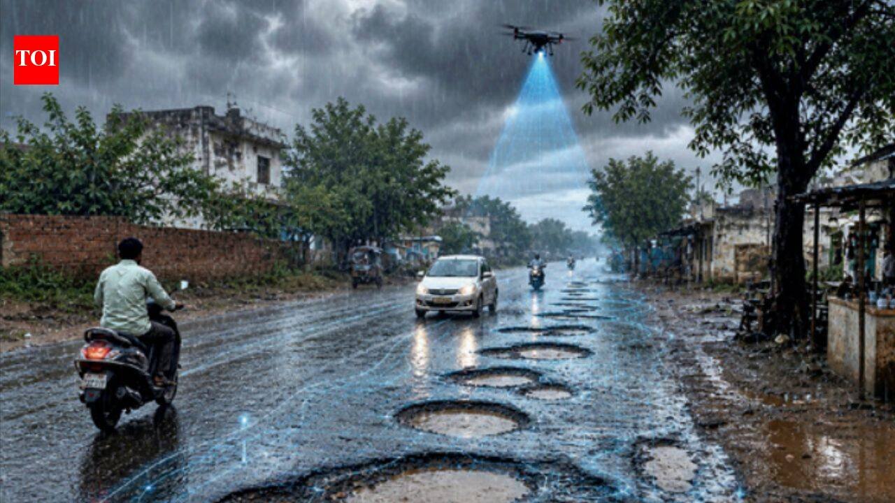
VADODARA: Will the road ahead turn into a water trap? Is that low-lying junction still passable? Is it OK to dry clothes on the balcony at 3pm today?The changing rain patterns, including intense downpours within a short span, which are paralysing cities, have spurred development of intelligent weather prediction systems that answer questions beyond the familiar “Will it rain?” to a more useful question: “What will the rain mean for me, right here?”
WayCast predicts localised water accumulation risks
One such platform, WayCast, developed by former MS University geology professor Dhananjay Sant, uses terrain, rainfall and drainage data to identify roads and junctions that could be vulnerable to water accumulation.Sant, now an adjunct professor at National Institute of Advanced Studies, Bengaluru, said, “The question is not just whether it is going to rain, but what is the weather likely to do at the particular place where I am?”AI systems by GSFC students won awards WayCast analyses road elevation and surrounding terrain to identify low points and combines this with rainfall forecasts, mapped drains and culverts. It also uses satellite observations to assess developing atmospheric conditions.The platform, however, provides a modelled estimate rather than a physical measurement of water on the road. Its rainfall input is based on a forecast grid of about 9 km, while its elevation data has a resolution of roughly 90 metres.“The system is a second opinion, not a ground-level guarantee,” Sant said. User observations of whether a predicted waterlogging spot actually flooded can help improve the model.A parallel approach is emerging from GSFC University, where two student teams won the first prize and runner-up position at ELCIA Next-Gen Innovative Tech Hackathon 2026 – Smart City Drone-AI Challenge, organised by Electronics City Industries Association in collaboration with IIIT-Bangalore and VLSI System Design. The hackathon had 183 teams and 343 participants.The winning team, Drone404, comprising BTech students Krishay Shah and Tatva Shah, developed HYDRO-VISION-3D, which uses drone footage and AI to detect potholes, waterlogging, open manholes, drainage overflows and damaged footpaths.The first runners-up, CivicPulse – Manthan Chawda and A Manav Prasath – made an AI-assisted civic-risk system that uses drone footage and GPS data to detect hazards, assign repairs, track status and confirm restoration.


