



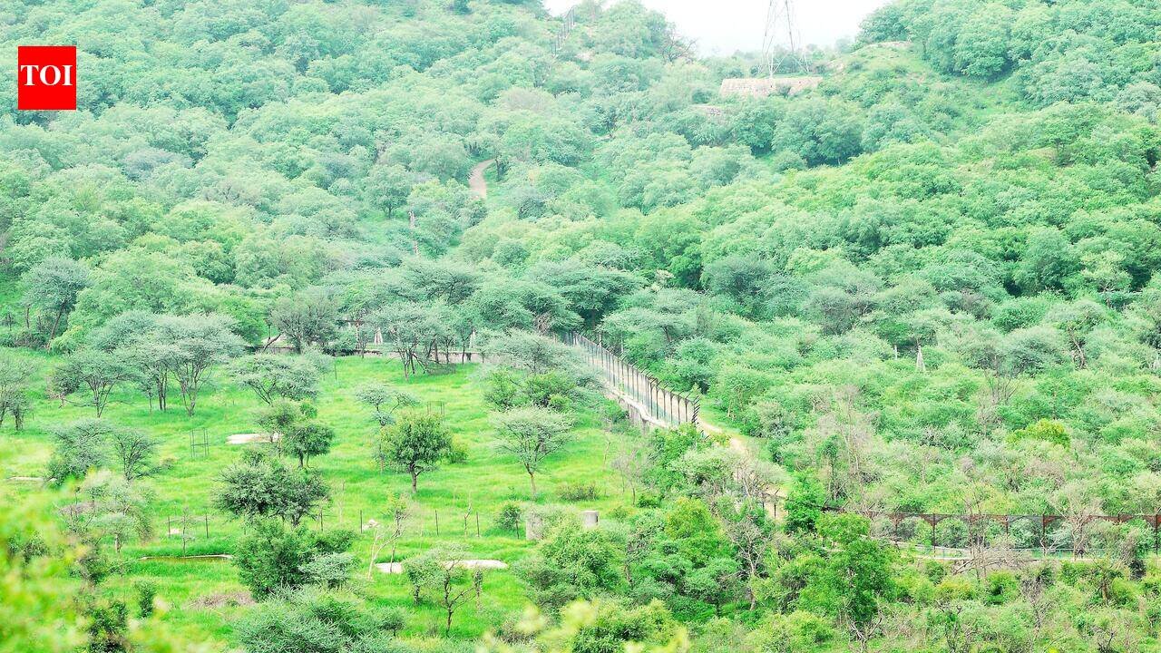
Jaipur: Rajasthan govt has begun preparing scientific Zonal Master Plans (ZMPs) for the Eco-Sensitive Zones (ESZs) of 13 protected areas to ensure development around national parks and wildlife sanctuaries remains environmentally sustainable.The department of environment and climate change is preparing the plans using Geographic Information System (GIS)-based mapping to identify forests, wildlife corridors, water bodies, agricultural land, villages, roads and other key landscape features. Officials said the mapping will guide land-use planning and regulate development in environmentally sensitive areas.“The initiative seeks to strike a balance between conservation priorities and the developmental needs of communities living around these ecologically significant landscapes,” a senior official said.
CJP Jantar Mantar Protest Updates
Eco-Sensitive Zones, notified under the Environment (Protection) Act, 1986, serve as buffer areas around protected forests to minimise ecological disturbance and protect wildlife habitats. “A Zonal Master Plan is mandatory for every notified ESZ and serves as a blueprint for environmentally compatible development,” the official added.The plans will cover biodiversity conservation, habitat restoration, water and soil conservation, climate resilience, sustainable tourism, waste management, regulation of construction activities and protection of traditional livelihoods, in addition to land-use planning.Rajasthan has already completed Zonal Master Plans for the ESZs of Nahargarh, Jamwa Ramgarh, Sitamata, Bassi, Mukundra Hills Tiger Reserve, Bhainsrorgarh, Keoladeo National Park, Sajjangarh and the Mount Abu Inner Eco-Sensitive Zone. ”Work is in progress for the Mount Abu Outer ESZ, Phulwari Ki Nal Wildlife Sanctuary and Todgarh-Raoli Wildlife Sanctuary,” the official informed.During the current financial year, the state engaged PDCOR Ltd and RITES Ltd to prepare Zonal Master Plans for the Eco-Sensitive Zones of Jaisamand, Kesarbagh, Shergarh and Tal Chhapar Wildlife Sanctuary.“The planning process includes detailed field surveys, geospatial data collection and consultations with local communities, Panchayati Raj Institutions, the Forest Department, Urban Local Bodies and other stakeholders to ensure conservation measures are implemented without compromising local livelihoods,” an official said.


