



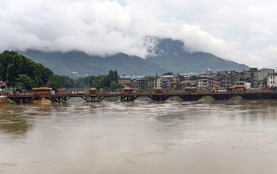
Srinagar, Jul 26: Even as the Jhelum receded after triggering flood alerts following two days of incessant rain, the latest scare has underscored a stark reality: while the river is stronger than it was during the 2014 deluge, Kashmir remains vulnerable to flooding. Twelve years after the worst flood in living memory, extensive dredging and flood mitigation works have significantly increased the Jhelum’s carrying capacity, but experts warn that climate change, shrinking wetlands and unchecked urbanisation continue to threaten the Valley.
The Meteorological Department’s forecast of another wet spell from July 28 has once again shifted attention to a question that has lingered since 2014: Is Kashmir truly prepared for another extreme flood?
Official figures suggest that considerable progress has been made. Before the 2014 floods, the Jhelum could carry only around 31,800 cusecs between Sangam and Padshahi Bagh. Today, after years of dredging and channel improvement under the World Bank-assisted Jhelum and Tawi Flood Recovery Project, the carrying capacity has increased to nearly 41,000 cusecs. At the Ram Munshi Bagh stretch in Srinagar, the river can now carry about 32,000 cusecs, compared with nearly 27,000 cusecs before the floods.
Equally significant has been the revival of the Flood Spill Channel, conceived during the Dogra era but neglected for decades. By 2014, the channel had been choked by silt, weeds and encroachments and could divert barely 4,000 cusecs of floodwater. Extensive restoration has increased its capacity to nearly 27,000 cusecs, enabling a much larger volume of water to bypass Srinagar during periods of high discharge.
Officials say these interventions played a crucial role during the latest spell of heavy rain, when the Jhelum rose sharply but remained within manageable limits.
Chief Engineer, Irrigation and Flood Control Department, Er Showkat Hussain said the Valley’s flood management infrastructure has improved significantly over the past decade.
“After the 2014 floods, large-scale dredging was undertaken, embankments were strengthened and vulnerable stretches were protected. The carrying capacity of the Jhelum has improved considerably and the Flood Spill Channel has been restored. These measures have enhanced our ability to manage higher river discharges,” he said.
Referring to the recent flood situation, Hussain said the improvements had yielded results.
“Despite continuous rainfall over two days, the river remained within safe limits and the flood peak passed through Srinagar without causing large-scale inundation. That reflects the impact of the mitigation works carried out over the past several years,” he said.
However, officials acknowledge that the challenge is far from over.
Despite the improvements, the combined carrying capacity of the Jhelum and the Flood Spill Channel is estimated at around 50,000 cusecs, still less than half of the 1.15 lakh to 1.35 lakh cusecs believed to have surged through the river during the catastrophic floods of September 2014.
Director, Meteorological Centre Srinagar, Dr Mukhtar Ahmad, said the nature of extreme weather events in the Himalayas is changing.
“We are increasingly witnessing short-duration, high-intensity rainfall events. Even when seasonal rainfall is near normal, intense precipitation within a few hours can rapidly increase runoff, swell rivers and trigger flash floods, landslides and waterlogging,” he said.
He said forecasting capabilities have improved dramatically since 2014. “Today we issue impact-based forecasts several days in advance, allowing authorities to prepare and the public to take precautionary measures. Early warning has become one of the strongest tools in disaster risk reduction,” he added.
Scientists, however, say engineering interventions alone cannot guarantee safety.
Prof Shakil Ahmad Romshoo, a noted earth scientist, said the post-2014 works have certainly reduced flood risk but must be complemented by ecological restoration.
“The interventions after 2014 have improved the carrying capacity of the Jhelum and strengthened flood management. However, structural measures alone cannot provide complete protection. Climate change is increasing the frequency of extreme rainfall, while wetlands, floodplains and natural drainage systems continue to shrink. Flood management has to move beyond engineering and include ecological restoration,” he said.
Environmental experts point out that Kashmir has lost much of its natural flood cushion over the past few decades. Wetlands such as Hokersar, once capable of storing large volumes of floodwater, have shrunk considerably due to encroachment and degradation. Wular Lake, another major flood buffer, has also witnessed a significant reduction in its effective water spread because of siltation and human interference.
Officials estimate that more than 20 million cubic metres of silt have been removed from the Jhelum and the Flood Spill Channel since restoration works began after 2014. Embankments have been strengthened at dozens of vulnerable locations, while real-time flood monitoring stations, Doppler weather radar, automated weather stations and improved coordination between the Meteorological Department and the Irrigation and Flood Control Department have significantly enhanced preparedness.


