






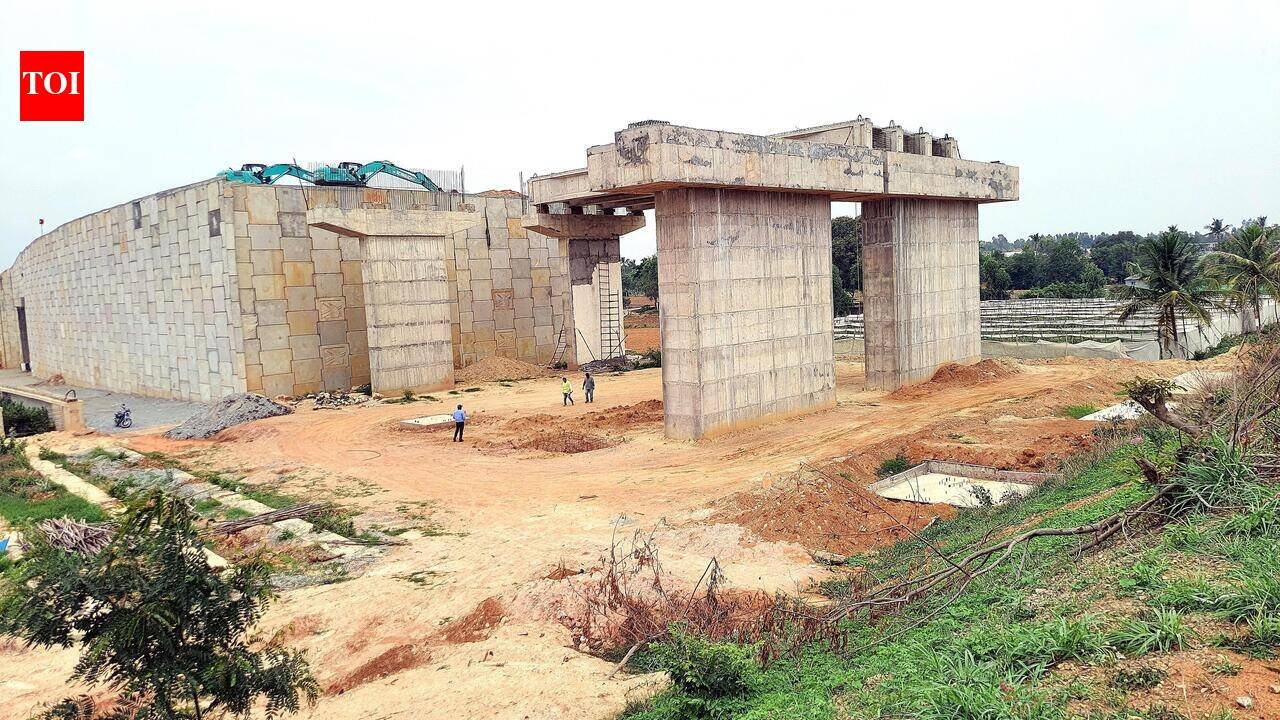
Bengaluru: Around 144 km of the 288-km Satellite Town Ring Road (STRR) is expected to be operational by the end of Nov 2026, providing a bypass for traffic travelling between major highways around Bengaluru. The corridor will connect Dobaspet with Hosur via Doddaballapura, Hoskote and the Tamil Nadu border.According to a reply by Union minister for road transport and highways Nitin Gadkari in Rajya Sabha, the STRR comprises 243 km in Karnataka and 45 km in Tamil Nadu. NHAI had taken up construction of the 144-km ring road in six packages at an estimated cost of Rs 14,655 crore.The stretch between Dobaspet and Hoskote via Doddaballapura and Devanahalli, covering around 80 km, has already been operational for over two years. The next 21-km greenfield section towards the Karnataka-Tamil Nadu border is 94.89% complete and is scheduled for completion by Nov 2026.An NHAI official said South Western Railway (SWR) has granted permission to launch a 50-metre bowstring girder over the Bengaluru-Chennai railway line at Lingadeeramallasandra. The delay in obtaining railway approval and launching the girder over the busy rail corridor has affected the project’s completion by more than one-and-a-half years.“The SWR has sanctioned permission for launching the 50-metre girder over the railway track. Railway officials have inspected the site, and preparations are under way to launch the girder at the earliest,” the official said.Following the launching of the girder, several works will have to be completed before the stretch can be opened to traffic. These include construction of the deck slab, road pavement, curing of concrete, installation of safety and finishing components, and load testing of the structure.The official said these post-launch works are expected to take a couple of months before the structure can be commissioned.Near the Tamil Nadu border, this road will be linked to another 36-km ring road extending up to Belagondapalli in Krishnagiri district. This stretch is 91.32% complete and is scheduled to be ready by Sept 2026. A seven-km portion overlapping with the Bengaluru-Chennai Expressway has already been completed. Together, these stretches add up to close to 144 km, which is expected to form the operational STRR corridor by the end of 2026.Will Reduce Traffic On Hosur RoadOpening the 144 km of STRR is expected to ease congestion on the Hosur Road stretch between Hosur and Silk Board via Attiebele, Chandapura, covering around 40 km, as well as on the NICE Road stretch between Electronics City and Tumakuru Road, as traffic is expected to be diverted to STRR.NHAI officials said in future, traffic travelling from Hosur towards Tumakuru Road can avoid city roads by using the STRR through Hoskote, Devanahalli and Doddaballapur.An official said, “Opening this stretch will provide major relief, especially as heavy trucks can avoid city roads and the NICE Road stretch. Already, around 30,000 vehicles use the Dobaspet-Hoskote STRR stretch, while around 10,000 vehicles use the Bengaluru-Chennai Expressway. In future, vehicles coming from Hosur Road can use the greenfield road, travel for 7 km on the Bengaluru-Chennai Expressway, reach Hoskote and then proceed towards Dobaspet.”People travelling from Hosur to Kempegowda International Airport (KIA) are also expected to benefit, as STRR will provide a faster route. Currently, motorists travelling towards KIA from Hosur have to pass through congested city roads. STRR is linked to the Bengaluru-Chennai Expressway through a trumpet interchange, enabling seamless movement between the two corridors.No clearance for remaining stretchThe remaining 144 km connecting Nelamangala with Hosur through Kunigal and the Bannerghatta National Park region is not yet part of the operational network. The Centre has not approved proposals for a new six-lane STRR from Oblapura in Nelamangala taluk to Kunigal and from Kunigal to S Mudugadapallu in Hosur taluk under the hybrid annuity model. There is no clarity on when the central govt will sanction this stretch of STRR which is pending for long.Status of Satellite Town Ring Road (STRR)Total length: 288 km• Karnataka: 243 km• Tamil Nadu: 45 kmCompletedDobaspet–Doddaballapura: 42 km | 100%Doddaballapura–Hoskote: 38 km | 99.2%Bengaluru–Chennai Expressway overlapping stretch: 7 km | CompletedUnder ConstructionFour-lane Greenfield highway from Karnataka to TN border21 km | 94.89% (Completed)Completion Target: Nov 2026Tamil Nadu PortionBelagondapalli to Karnataka Border (Greenfield)35.76 km | 91.32% (Completed)Target: Sept 2026144 km pending for approvalThe Centre govt is yet to approve a 6-lane STRR extension from Oblapura–Ramanagara and Ramanagara–Hosur.


