



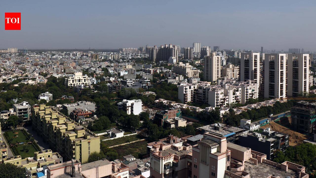
Gurgaon: The city’s built-up area has expanded by nearly 64% over the past decade, growing from 102.5sq km in 2015 to 168.2sq km in 2025, according to a GIS-based study by GMDA.The study projects continued urbanisation through 2030, concentrated along key growth corridors including Dwarka Expressway, Southern Peripheral Road (SPR), NH-8, Golf Course Extension Road, Sohna Road, New Gurgaon, Cyber City-Udyog Vihar and IMT Manesar. Improved connectivity, expanding economic activity and planned urban development have been identified as the primary drivers of this growth.The assessment was carried out by GMDA’s GIS Division using high-resolution satellite imagery, GIS mapping, statistical analysis and machine-learning models to track land-use change and forecast future expansion, achieving an overall mapping accuracy of more than 92%.GMDA chief executive officer PC Meena said the study reinforces the importance of data-driven planning as the city continues to witness rapid urban growth. “The GIS study provides valuable spatial insights into the city’s growth pattern and helps us anticipate future infrastructure requirements. Such scientific assessments enable informed planning decisions and ensure that infrastructure development keeps pace with urban expansion,” he said, adding that the authority intends to use the findings to guide long-term investments toward a well-connected, sustainable and future-ready city.Senior scientist and head of GMDA’s GIS section, Dr Sultan Singh, said advanced geospatial technologies have given planners a detailed understanding of the city’s changing land-use pattern, allowing them to forecast future growth with greater accuracy.The findings are expected to serve as a blueprint for planning roads, drainage systems, water supply, sewerage networks, public transport and intelligent traffic management. The study also flags the need for integrated land-use planning, stronger transport connectivity, expanded water and sewerage networks, improved stormwater drainage and protection of ecological spaces as the city grows.GMDA officials said the study will help the authority prioritise infrastructure investments and align future development with projected population and urban growth, positioning it as a key planning tool as Gurgaon enters its next phase of expansion while balancing growth with sustainability.The study also highlights the increasing role of geospatial intelligence in urban governance, enabling planners to monitor changes in land use, identify emerging development clusters and assess infrastructure gaps in real time. Officials said the GIS platform can support evidence-based decision-making by integrating spatial data with demographic and utility information, allowing authorities to better sequence infrastructure projects and optimise public spending.Urban planning experts said the findings come at a time when the city is witnessing sustained residential, commercial and industrial expansion, driven by improving regional connectivity and growing corporate investments. They noted that scientific mapping of growth patterns can help prevent unplanned development, reduce pressure on civic infrastructure and ensure that future urbanisation is supported by adequate transport, water, sewerage and environmental infrastructure.


