


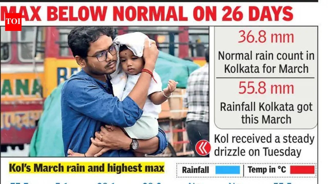
Kolkata: The month ended on a rainy note on Tuesday, making it the third-rainiest March in 15 years. With a rain count of 8 mm between Monday night and Tuesday evening taking the month’s total rain tally to 55.8 mm, Kolkata logged a monthly rain excess of 51%. While the Met office expects the city to remain dry over the next five days, officials have not ruled out frequent rain spells in April.Climatologically, Kolkata should get a monthly average rain of 36.8 mm rain in March, with mean rainy days counted as 2.1. This March has seen five rainy days, four of which were significant nor’wester spells. The Met officials said in addition to Kolkata, almost all districts recorded excess rainfall this March.“Factors like frequent passing of the western disturbance and continuous moisture incursion due to anti-cyclonic flow brought frequent thunderstorm activities in March. We expect the city to remain dry in the next five days, which may lead to hot weather conditions,” said HR Biswas, head at the Regional Meteorological Centre, Kolkata.The frequent nor’wester intervention came as a blessing for Kolkatans, who enjoyed a prolonged and steady winter. The thundershowers ensured the maximum temperature crossed the normal mark only on five days. On 26 days of the month, it stayed below normal.In fact, the city’s highest maximum temperature this month — 34.7°C, recorded on March 27 — is the second lowest for March in the past decade and a half. The Met officials attributed this to the frequent thunderstorms.In 2021, Kolkata did not get rain for a single day and the maximum temperature inched close to 40°C on the last day of the month. However, this year, the maximum temperature dipped below 30°C on two occasions — 27.2°C on March 22, following 19.8 mm rain the previous day, and on Tuesday when Alipore recorded a maximum temperature of 28.7°C, six notches below normal.While the minimum temperature at 23°C on Tuesday was 1.6 notches below normal, it hovered above the normal mark on 20 days of the month. The Met officials said this was due to frequent moisture incursion. It shot up as high as 26.3°C on Monday.“The broader outlook for April is somewhat similar to what we encountered in March in terms of frequent nor’wester spells and the maximum temperature on most days likely to hover around or below the normal. While it could go up temporarily for a day or two, we expect thunderstorm activities to neutralise the rising heat at frequent intervals,” added Biswas.Since election campaigning is picking up pace, the Met officials also cautioned political parties to stay tuned to IMD’s nowcast alerts issued about an hour before a thunderstorm as these nor’wester spells strike mainly towards the evenings when many come out for campaigning.


