






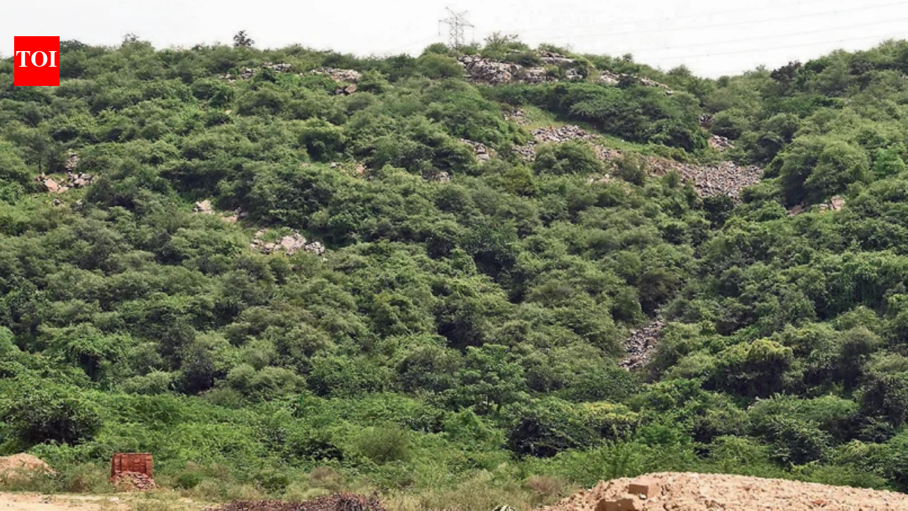
GURGAON: A decade after National Green Tribunal (NGT) ordered Haryana govt to settle the status of land in Mangar, parts of the eco-sensitive Aravali hills were still recorded as agricultural land despite being visibly hilly on the ground. The mismatch threatened to undermine protection of a landscape the tribunal had sought to safeguard.The discrepancy emerged during a recent ground check. It was especially significant because NGT intervened after private companies sought to change parcels in Mangar from gair mumkin pahar (uncultivable hill) to agricultural land. It then ordered a detailed survey of the disputed khasras.
244HA vegetated hill slopes
The govt survey, involving the forest department, Union environment ministry and Forest Survey of India, used cadastral maps, satellite imagery, digital elevation models and GPS-based ground verification. It found the parcels formed part of the Aravalis – hills, valleys and foothills – despite varying revenue classifications, including gair mumkin pahar and bhood.Of 606 entries examined, 493 were hills, 96 were natural gullies in hills and 17 were foothills or valleys.“We did a survey and found that Mangar has little plain area and mostly gair mumkin pahar. What has happened over the years is a tendency to change the revenue records. Misrepresentation of the area is wrong. Gair mumkin pahar can’t be agriculture,” said MD Sinha, former conservator of south Haryana.The survey also recorded substantial vegetation. One 244-hectare tract comprised vegetated hill slopes typical of the Aravalis, while another 357-hectare area in western Mangar was identified as hilly terrain.Yet, a recent ground check found some existing hills still recorded as agricultural land – a discrepancy that conservationists said could create room for development.“Largely, Mangar hills are non-protected and this loophole facilitates so-called development. For instance, the recent hill cutting. Forest department also fails to do anything as the land is still magda and not gair mumkin pahar. These create issues for protection and conservation,” said ecologist Sunil Harsana.The risk was not merely on paper. Recently, a patch of less than an acre at the foothills was excavated and levelled before police intervened after a complaint. Fresh earth cuts remained visible beside the flattened patch, with the rocky hill rising behind it.Mangar is among NCR’s key remaining Aravali stretches and includes Mangar Bani, a dense forest around a sacred grove, besides extensive slopes and valleys. NGT had asked authorities to act against unauthorised tree cutting, breaking of land and non-forest activity in forest areas, including gair mumkin pahar.“Despite clear directions to update the revenue record in Mangar, we still find a few patches which are clearly hilly in nature but are recorded under an agriculture land-use category. There is a need to do a special intensive revision (SIR) of the revenue records to match the entries with the nature of land,” said forest analyst Chetan Agarwal.The Faridabad deputy commissioner did not respond to queries for a comment.


