



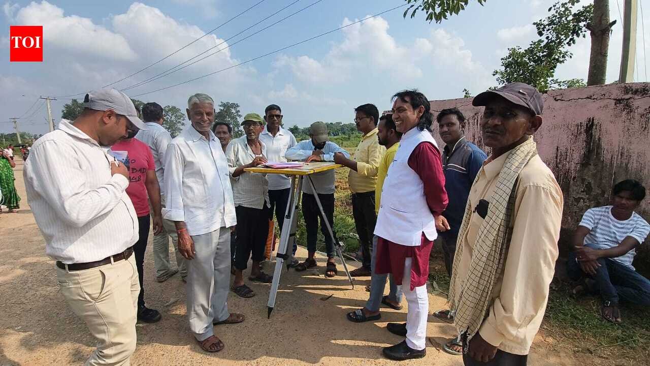
Hazaribag: A special team of the district administration on Friday began land survey and verification of the plots under 163.19 acres of disputed govt land Sirsi-II mouza in Katkamdag circle, roughly 3km outside the city.The team will verify allegations of illegal mutations, encroachments and unauthorised constructions on Gair Majurwa Khas land and will submit its report to the DC by Oct 15. Over 40 plots in Sirsi-II mouza, which sits on the road connecting Hazaribag to Barkagaon, are under the scanner for encroachment allegedly using forged mutation and other documents.Officials have been assigned specific responsibilities to expedite surveys, measurements and verification of land records.On Friday, the team carried out measurements of a plot near govt residential school where several pucca houses and temporary structures have come up. Multiple individuals have laid claim to portions of the land, citing registered sale deeds and govt land allotment papers.Upendra Kumar and Prem Kumar Chaurasia, amin of Katkamdag circle said portions of three plots have been measured so far. “Surveys have been completed in areas north of the Ring Road, while stretches along the river are yet to be covered,” they said.
Do you believe that illegal mutations and encroachments on government land are a widespread issue in Hazaribag?
3k+ users shared opinion today
5k+ users already voted today
3k+ users shared opinion today
Officials said persistent rain, dense vegetation, the large size of the plots and scattered encroachments have slowed the exercise. The team is preparing a plot-wise inventory detailing occupants, existing structures and vacant land.Katkamdag circle officer Satyendra Narayan Paswan said, “A preliminary report had already been submitted to the DC. Documents submitted by claimants would be scrutinised in the next phase. The final report would determine the legal status of the land for further action.”
