



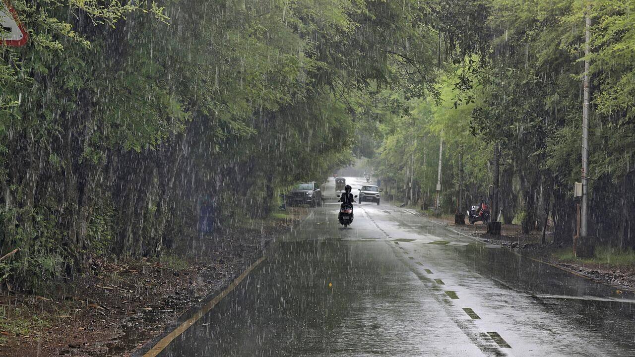
Pune: Monsoon revival over large parts of the country is unlikely for at least the next week. The India Meteorological Department’s (IMD) extended-range forecast, however, suggests subdued monsoon conditions could persist through July 22.Although the meteorologists are keeping a close watch on a possible weather system that may develop over the northern Bay of Bengal later this month.According to IMD’s extended-range forecast (ERF), overall rainfall across the country is likely to remain below normal during July 9-15. The rainfall is expected to be below normal over the Indo-Gangetic Plains, south India and the northeastern states during this period.As per ERF for July 16-22, the forecast indicates overall rainfall will remain slightly below normal over the country as a whole. Rajasthan and parts of northern peninsular India, including Maharashtra, Telangana, Andhra Pradesh and northern interior Karnataka, may witness below-normal rainfall during the period.However, Kerala, parts of east-central India, the western Himalayan region and the Himalayan foothills, including Nepal, are likely to receive above-normal rainfall during the said period.IMD scientist SD Sanap told TOI that there is greater confidence about the subdued monsoon over the next week, while the outlook beyond that is based on extended-range guidance and is being monitored continuously.“At least for one week, revival does not look likely. As per the extended-range prediction models, revival is also not expected during the following week. That is, till the second half of July,” he said.Another IMD official said, “However, we are monitoring the conditions because the short- and medium-range models are showing indications of a possible weather system over the north Bay of Bengal around July 18-19, though there is no consensus among the models yet.”The official said no official statement can be issued on the possible Bay of Bengal system at present because some models indicate its formation while others do not. “As soon as conditions become favourable and there is better agreement among the models, we will update the forecast,” the official said.Explaining the current weak phase of the monsoon, Sanap said several atmospheric factors have come together. “The Madden-Julian Oscillation (MJO), an eastward-moving pulse of clouds and rainfall that influences tropical weather, is currently in Phase 7. It is expected to move into Phases 8 and 1, which are generally not favourable for monsoon revival over India,” Sanap said.He added that the synoptic weather systems that supported widespread rainfall last week have dissipated, leaving no major system to sustain vigorous monsoon activity over the country.“Another contributing factor is Typhoon Bavi over the South China Sea, which is recurving and drawing away a significant portion of the cross-equatorial monsoon flow. All these factors are collectively responsible for the weakening of the monsoon,” Sanap said.The forecast comes after an active spell of monsoon rainfall last week, when several parts of the country, particularly western India, received widespread heavy to extremely heavy rainfall before rainfall activity reduced significantly over the past few days.


