






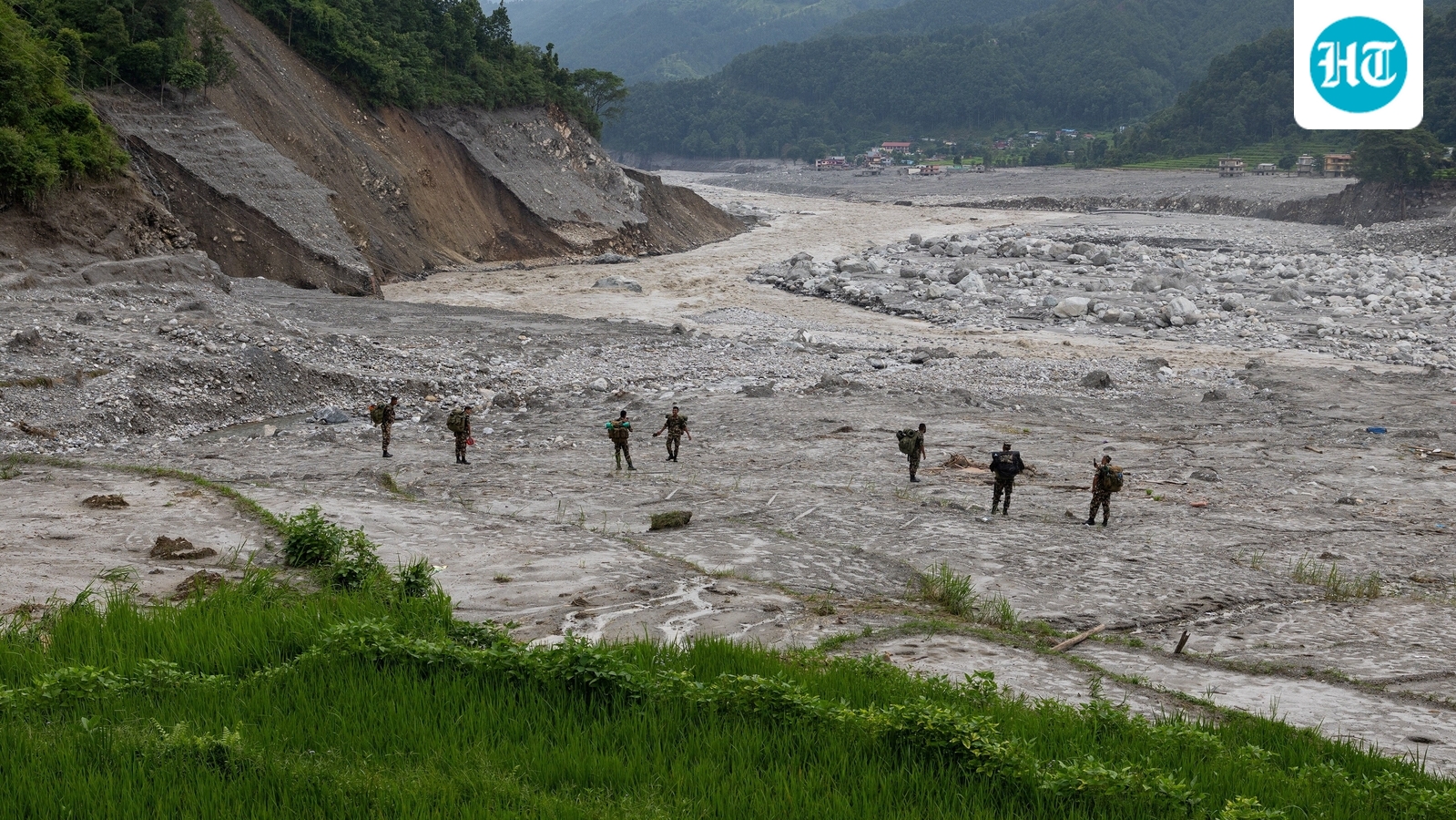
A devastating flash flood along the Tibet-Nepal border that has killed over 1,300 people has brought fresh attention to the growing environmental and geological risks in the Himalayan region, with Chinese experts linking the disaster to rising temperatures, retreating glaciers and increasingly volatile weather patterns.

Nepal floods have also renewed scrutiny of China’s hydropower projects in Tibet, including its mega dam on the Brahmaputra River.
The August 26 disaster was likely caused by a combination of factors, including rising temperatures and accelerated glacier melt, glacier retreat, local geological and geomorphological conditions and broader climatic influences, according to Chinese climate experts cited by news agency PTI.
“According to our monitoring, we can see the short-time rain days, or the imbalance of the rain pattern and the rising of the temperature in Tibet,” said Sun Xiaoguang, head of the Meteorological Observatory of the Tibet Autonomous Region.
Sun said the Tibet region may be affected by the climate change crisis, the report added.
“As far as I know, and according to the reports published by the Meteorological Observatory of China, I think there are… there will be more and more extreme weather, or extreme weather incidents in China that are impacted by or affected by climate change,” he said, talking to PTI.
Also Read: The ’26’ factor: Nepal floods add to deadly trail of disasters that struck on 26th
Glaciers, floods and the Brahmaputra dam
China has faced criticism over its hydropower projects in Tibet, including the construction of a USD 167.8 billion dam on the Brahmaputra River, upstream of India’s Arunachal Pradesh. The project has been described as the world’s largest construction project.
Construction of the dam started in July last year. It is expected to generate more than 300 billion kWh of electricity each year, enough to meet the annual needs of over 300 million people.
The dam is being built at a gorge in the Himalayan reaches where the Brahmaputra River makes a huge U-turn before flowing into Arunachal Pradesh and then to Bangladesh.
The primary concern surrounding the project had earlier been earthquake risks, given Tibet’s location along the collision zone of the Indian and Eurasian tectonic plates. The August 26 disaster, and its links to climate change and glacier retreat, have now added another layer to the risks facing the region.
Also Read: China defends plan to build world’s largest dam over Brahmaputra River in Tibet
Chinese researchers say climate change is emerging as a central driver behind the growing frequency and severity of such disasters across high-altitude border regions.
The August 26 event serves as a stark warning that rising temperatures are fundamentally reshaping the stability of the Qinghai-Tibet Plateau and the Himalayan range.
Chinese officials who addressed the media close to the disaster site on Sunday said Tibet has 33,000 glaciers, with 187 categorised as high-risk and requiring round-the-clock satellite monitoring to predict collapse.
Nie Yong, a researcher at the Institute of Mountain Hazards and Environment of China, said there are now more than 14,000 glacial lakes on the Qinghai-Tibet Plateau, covering a combined area of more than 1,100 square kilometres, with many continuing to expand.
The area covered by glacial lakes in the region is increasing by an average of about one per cent a year, he told Chinese daily The Paper, warning that the continued expansion of the lakes is contributing to the accumulation of geological disaster risks in high-altitude areas.
Tibet’s glaciers shrink 24%
Kang Shichang, director and researcher at the Institute of Mountain Hazards and Environment, under the Chinese Academy of Sciences in Chengdu, said glaciers across the Qinghai-Tibet Plateau had shrunk by about 24 per cent in area over the past six decades.
The decline has been even more pronounced in the southern part of the plateau, particularly in the Gangdise Mountains, Nyenchen Tanglha Mountains and the Himalayas, where glacier area has fallen by about 40 per cent over the same period, Kang told The Paper on Monday, attributing the dramatic retreat primarily to global warming.
The continued loss of glacier ice has also contributed to a substantial increase in the number and size of glacial lakes across the plateau, raising concerns over the risk of glacial lake outburst floods and related landslides.
The Paper said specialists examining the Gyirong Port mudslide have confirmed the disaster is closely tied to global warming.
(With PTI inputs)


