



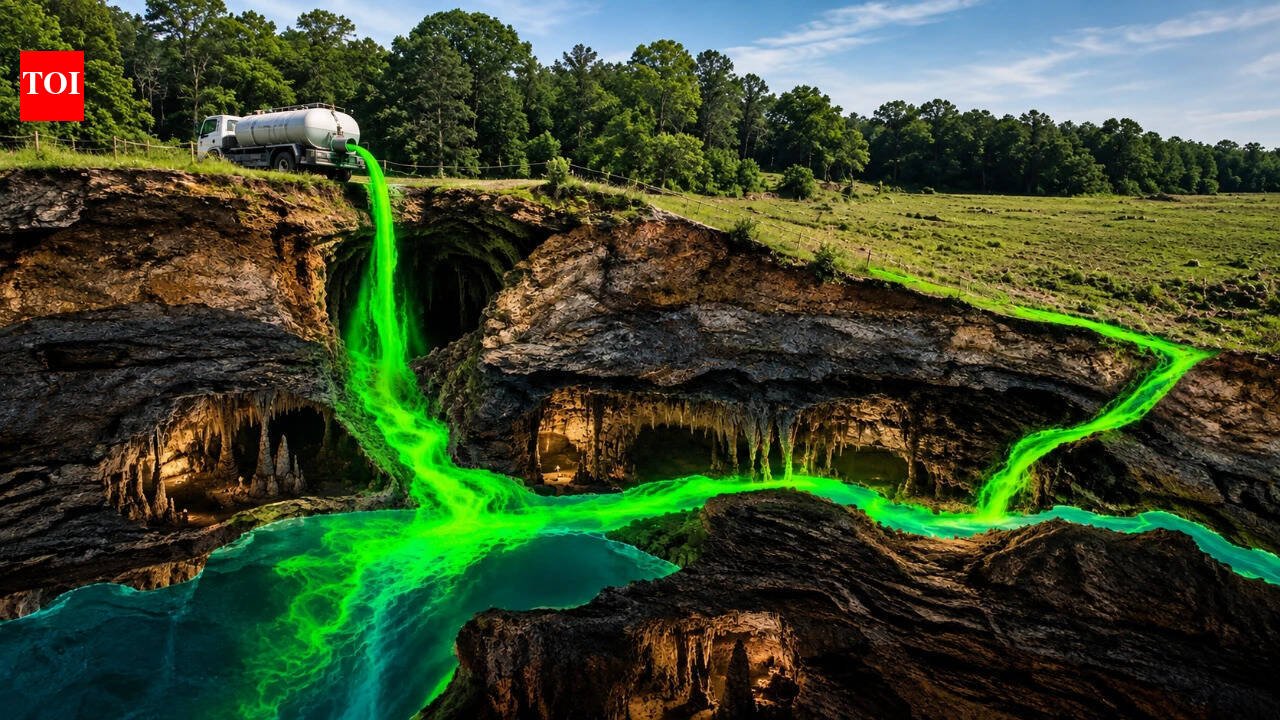
Rain that falls miles beyond the national park can sink into the ground through sinkholes, travel through hidden underground passages and eventually emerge within the Mammoth Cave system. A major groundwater-tracing programme helped scientists uncover this hidden connection, mapping the cave’s underground plumbing and revealing that much of the water flowing into it originates beyond the park’s protected boundaries.According to the US Geological Survey, Mammoth Cave is part of a complex karst aquifer in which groundwater moves through sinkholes, underground conduits and cave passages in soluble limestone. Dye-tracing studies showed that groundwater basins can extend beyond visible surface boundaries, allowing water from outside Mammoth Cave National Park to enter the cave system.Fluorescent dye revealed an invisible networkScientists had been investigating groundwater around Mammoth Cave for decades, but the most intensive mapping took place from the 1970s into the early 1980s. Researchers used dye tracing, a technique in which harmless fluorescent substances are introduced into sinking streams or other points where surface water disappears underground. Scientists then monitor springs, cave streams and other locations to determine where the dye reappears.According to research published through Western Kentucky University, dye tracing became a primary tool for understanding the Mammoth Cave karst aquifer. The work by James Quinlan and Joseph Ray produced a major 1981 map showing groundwater basins, springs, cave systems and underground flow routes in the Mammoth Cave region. Rather than simply following visible streams on the surface, researchers could use the movement of dye to reconstruct pathways hidden beneath the landscape.The technique was especially useful because groundwater in karst landscapes behaves very differently from water flowing on the surface. A stream can disappear into a sinkhole and travel through underground conduits, sometimes crossing a drainage divide that appears clearly defined above ground. Water can also move rapidly through enlarged cracks and cave passages instead of slowly filtering through layers of soil and rock.This revealed a far more complex system than a conventional watershed map would suggest. Beneath Mammoth Cave, interconnected groundwater basins feed springs and cave streams, but their boundaries are not always permanent. Shifts in water levels can change groundwater divides, while periods of heavy flow can force water from one basin into another. As a result, the cave’s recharge area is better understood as a dynamic zone that changes with hydrological conditions rather than a single, fixed geographical boundary.About 60% of the recharge area was outside the parkThe US Geological Survey found that approximately 60% of the recharge area for the Mammoth Cave karst aquifer, covering about 300 square kilometres, extended beyond the boundaries of Mammoth Cave National Park and onto privately owned land. In other words, a large portion of the landscape supplying water to the cave’s underground system lay outside the area directly protected by the park. This became clear through groundwater tracing, which allowed researchers to follow water moving through the karst and identify the underground basins and pathways connected to Mammoth Cave. Hundreds of dye traces have helped scientists map these hidden connections and determine where water entering sinkholes eventually emerges in the cave system.The finding showed that Mammoth Cave’s underground water system could not be protected by focusing on the park alone. Because water entering the recharge area can travel underground into the cave, activities on land beyond the park’s boundaries can also affect the cave’s waterways. The 60% figure therefore revealed the scale of the challenge: protecting Mammoth Cave required understanding and managing the wider landscape that feeds its underground system.
Tourists inside Mammoth Cave National Park, Kentucky, US. Image Credits: Wikimedia Commons.
A cave system dependent on the landscape above itMammoth Cave is the world’s longest known cave system, with hundreds of kilometres of surveyed passages. However, its vast underground network is closely linked to the landscape above. Thousands of points across the surrounding karst allow surface water to enter the underground system, connecting the land above with rivers, streams and passages below.This connection also makes the cave system particularly vulnerable to groundwater contamination. In many landscapes, water moves slowly through layers of soil and sediment, which can naturally filter some pollutants before they reach groundwater. In karst terrain, however, water can take much faster routes. Rainwater entering a sinkhole can bypass much of this natural filtration and move directly through underground conduits, carrying substances from the surface into the cave system.


