






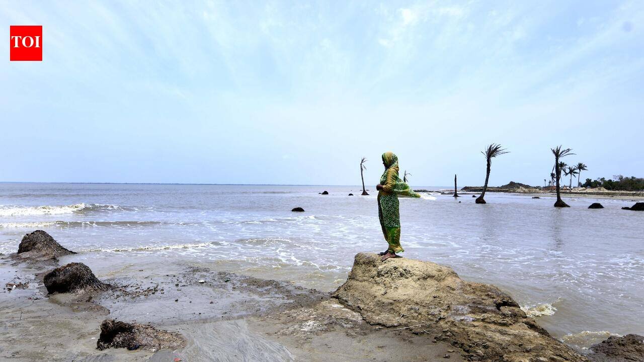
Kolkata: For a family living in the Sundarbans or along a river in Malda, leaving home may not always be a choice dictated by a job, marriage or better prospects in a city. Sometimes, the house is swallowed by a river, farmland turns saline or a cyclone leaves little behind to return to.For the first time in decades, India’s population Census is preparing to give such journeys a distinct place in its migration data by recording “natural calamities” as a reason for migration — potentially offering a clearer official picture of people displaced by erosion, floods, cyclones and other disasters.In ecologically fragile areas, enumerators for the ongoing Census have been drawn from local communities who know the terrain, dialects and history of disasters that have displaced residents. Census officials said this familiarity could help families speak more freely about sensitive experiences involving loss of homes, land and livelihoods.Such experiences are nowhere more stark than on islands in South 24 Parganas such as Mousuni and Ghoramara. Cyclones, tidal surges and erosions have steadily eaten into homes and farmland on those islands, forcing families to shift to the mainland.Ghoramara perhaps offers the starkest illustration. The island was spread across around 7.2 sq km in 1972. By 2022, it had shrunk to about 3.6 sq km — half its landmass disappearing into surging seawater in five decades. Researchers estimate that if the trend persists, only around 2.6 sq km may remain by 2032.Coastal geomorphologist Sunando Bandyopadhyay of Calcutta University, who studies erosion and climate change, said Sagar Island, too, has lost substantial land to the sea over the decades. From around 256 sq km in 1922, it has shrunk to around 230 sq km.For families affected by the steady loss of land, migration is often not about opportunity but survival.The new Census classification could make such journeys easier to identify in official statistics. The 40-question population enumeration schedule lists natural calamities — alongside employment, business, education, marriage, movement after birth, movement with household and “any other” — as a reason for migration.Majed Shah, 55, once owned two bighas in Mousuni. Over the years, the sea reduced it to a tiny patch, which eventually disappeared after a cyclone. He and his family now stay with a relative in Fraserganj in South 24 Parganas.“Each year, some of us lose our homes as the sea relentlessly gnaws at the island,” Shah said, adding that another major surge could swallow whatever remained of Mousuni. “My official documents are still in Mousuni. But in current Census, I want to be counted as a resident of Fraserganj,” he said.Farmers Gobinda Karak and Tapas Karak from Ghoramara, another island in South 24 Parganas, are among those displaced by the rising sea level and the consequent loss of their agricultural land. Gobinda moved his family towards Kakdwip, while Tapas, who works as a labourer in Thakurpukur, sent his to a relative’s home in Namkhana.The same cycle plays out along the Ganga in Malda, where entire settlements have disappeared with the river constantly changing course. Md Taher Ali, 71, a resident of Sahabattola in Malda’s Manikchak, has been uprooted thrice — in 1966, 1994 and 1997. “I had to relocate because of erosion. I am glad Census 2027 is recognising the reason (for the change of address),” said Ali, a retired railway employee.Census officials, however, said the data collated under the category “natural calamities” should not be treated as a direct measure of climate change-induced migration.The migration data could nevertheless offer researchers and policymakers a clearer window into disaster-linked displacement — particularly whether temporary movement eventually turns into permanent relocation.


