



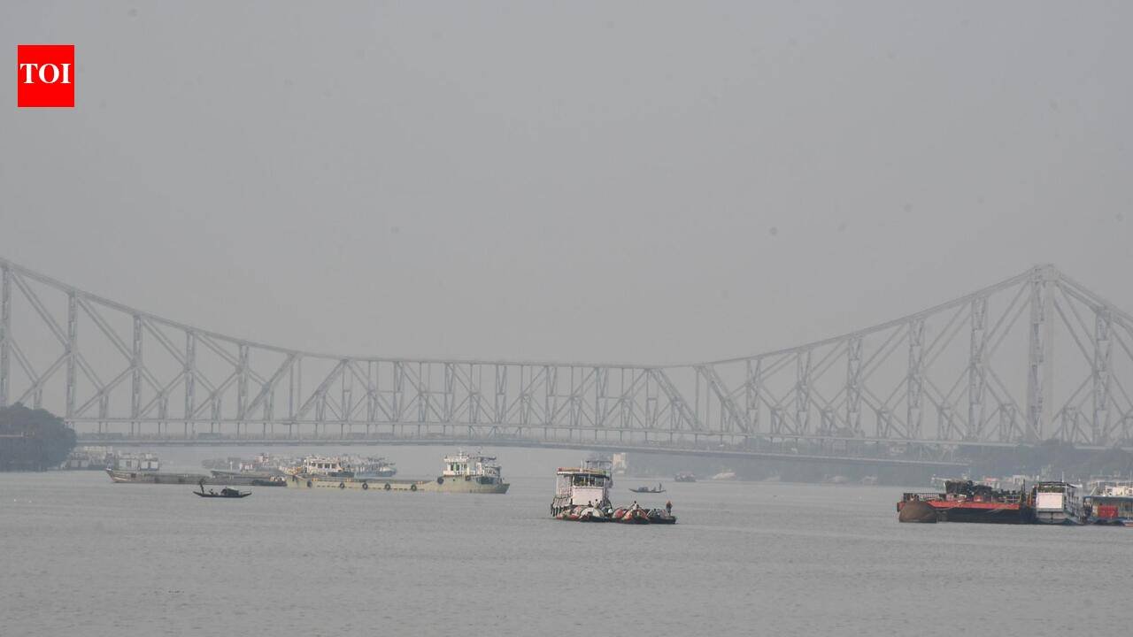
Kolkata: Even as Kolkata remained dry and humid on Saturday, an upper air circulation developed into a low-pressure zone over north Andaman Sea on Saturday evening, and is set to turn into an intense depression.Amid speculations on whether it could turn into a cyclone, the Met office said it was still too early to predict. But the city and south Bengal could receive increased rain once the system turns into a deep depression on Monday and hits land on Sept 23. “We are tracking the system which is set to turn into a deep depression with a wind speed of at least 60 km/hour. It will be very close to a cyclone which is not ruled out,” said Sourish Bandopadhyay, weather scientist, Regional Meteorological Centre.A bulletin issued by RMC said: “It is very likely to move west-northwestward and intensify gradually into a depression over east central Bay of Bengal on Sept 21 and into a deep depression over west central Bay of Bengal on Sept 22. Continuing to move west-northwestward, it is very likely to reach west central and adjoining northwest Bay of Bengal south Odisha-north Andhra Pradesh coasts around the morning of Sept 23.”The city may receive sporadic, localised rain on Sunday and Monday. “As the system moves closer to the coast, moisture flow will lead to cloud formation and increased rain, especially in Bengal’s coastal districts. Kolkata, too, will be impacted,” added Bandopadhyay. Thunderstorms and gusty winds, along with heavy rain, have been predicted at some places across south Bengal from Sept 23-26.
