



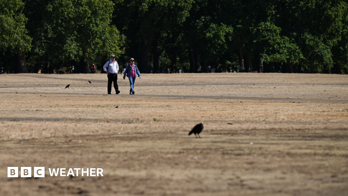
Much of the country will feel some relief from the heat early in the week before temperatures spike again.
On Monday, the air will feel a little fresher compared to the weekend with maximum temperatures in northern areas of the UK around 18 to 24C.
Further south, while cooler than Sunday, it will still be a very warm day with temperatures between 22 to 27C.
By Tuesday, warmer air will start to move back in across the UK with the highest temperatures across central southern England, the Midlands and east Wales.
Yellow heat-health alerts remain in force for much of England until 21:00 BST on Tuesday, though they are likely to be extended or upgraded as the heatwave nears.
Highs are likely to be around 27 to 30C.
Wednesday will see temperatures widely across England and Wales head into the high twenties and low thirties.
The peak of the extreme heat is set to arrive on Thursday, with temperatures reaching 36C (97F) in south-east England, and up to 35C likely across central and eastern England.
This would mark the fourth consecutive month where 35C has been reached in the UK – a new record.
Many locations will exceed their heatwave threshold of 25 to 28C – dependent on location – for the first day.
Some of the warmth will spread further north into northern England, Scotland and Northern Ireland with temperatures into the low to mid-20s Celsius.
As heat builds throughout the week, overnight temperatures will stay relatively high bringing some uncomfortable nights for sleeping.
Minimum temperatures may not go lower than 16 to 18C across England and Wales.
There’s also a possibility of a ‘tropical night’ – where temperatures remain above 20C all night – in south-east England.


