



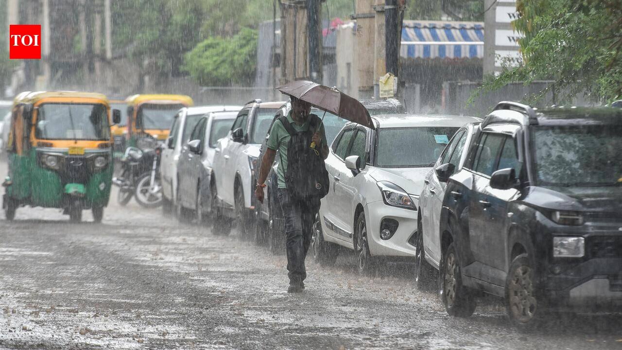
Gurgaon: A spell of intense rain accompanied by thunder and lightning swept the city on Friday afternoon, with India Meteorological Department (IMD) forecasting light to moderate rainfall at many places across the city on Saturday, with heavy rain possible at some places.The city received rain over a few hours after an initial spell of drizzle, with moderate to heavy showers reported in several areas. IMD, in its 12.30pm bulletin on Friday, had forecast light to moderate rain at many places in the city and warned of heavy rain at some places.Weather observer Navdeep Dahiya said in an afternoon update that moderate to heavy rain had begun across Delhi-NCR and was likely to continue intermittently for the next two to three hours before tapering towards late evening.According to the tehsil/sub-tehsil-wise rainfall report for Sept 4, Wazirabad recorded the highest rainfall in the district at 39mm, followed by Gurgaon at 36mm. Kadipur and Harsaru recorded 26mm each, while Sohna received 19mm, Manesar 12mm, Badshahpur 10mm, Pataudi 6mm and Farrukhnagar 2mm between 8am and 5pm.The city’s minimum temperature on Friday was 26.3 degrees Celsius, recorded at the Gurgaon automatic weather station, 0.1 degrees Celsius higher than the previous day. The maximum temperature was 32.5 degrees Celsius, compared with 32.8 degrees Celsius on Thursday.The afternoon rain led to waterlogging on several key stretches, including DLF-2, IFFCO Chowk, IFFCO Chowk metro station, Sector 28, near Huda City Centre Metro station, Traffic Tower, Udyog Vihar and Civil Lines. Water accumulated on roads within a short period, leaving vehicles moving through standing water and reducing visibility at some locations.The waterlogging was particularly noticeable on stretches where rainwater accumulated faster than it could drain. The impact followed an intense burst of rainfall rather than prolonged rain through the day, highlighting the vulnerability of several stretches to short-duration heavy showers.The weather activity is linked to a broader monsoon system. IMD said the monsoon trough was extending through Rajasthan and the centre of a well-marked low-pressure area over northern Madhya Pradesh and adjoining Uttar Pradesh. An upper-air cyclonic circulation was also present over north Haryana and neighbouring areas.With another spell of rain forecast for Saturday and heavy rain possible at some places, further waterlogging cannot be ruled out, particularly during intense bursts of rainfall.The city is likely to continue receiving showers on Sunday, although the intensity is expected to ease, with light to moderate rain forecast at many places.


