



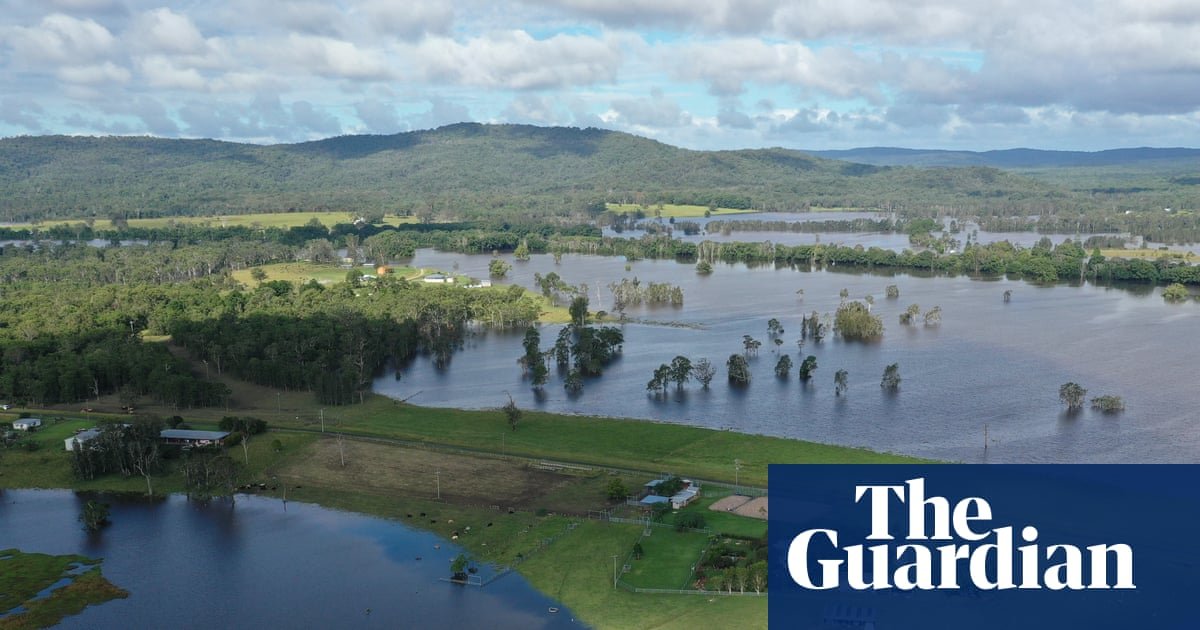
When grazier Peter Lake moved to the Clarence Valley in the New South Wales northern rivers region in 2007, he knew was “buying in flood country with … eyes open”.
His cattle farm, about halfway between Yamba and Grafton, borders the Coldstream River and has flooded five times since 2009.
“Out of 130 acres … in a major flood we would have maybe 15 acres that were flood-free,” he said. Lake has systems in place to prepare for such events, including moving cattle to the dry paddocks, where they would also store fodder to feed the animals.
But the amount of safe ground is shrinking: in the historically big flood in 2022, “we only had just a few acres of flood-free land”. Because of both drought and frequent floods, “we just haven’t been able to successfully grow a fodder crop for some years”.
“If we’re going to have more frequent and more severe major events … we need to change the way we think about how we manage,” Lake said. “If rising sea levels impact on us, it’ll just this make property less and less viable.”
Agricultural damages are among $855.1bn in economic losses projected Australia-wide by the end of the century due to coastal flooding, according to a Climate Council report released on Thursday.
The report forecasts that more than 267,000 coastal properties and 2m hectares (4.9m acres) of Australian land will be damaged by flooding by 2100 as sea levels rise.
Queensland (93,157 properties), NSW (71,210) and Western Australia (51,366) are the three states with the greatest number of homes at risk.
The Gold Coast, Brisbane and Melbourne are the metropolitan areas expected to be worst affected.
The Gold Coast, the country’s most exposed urban area, faces $84.4bn in projected economic losses, while in Melbourne, losses are concentrated in low-lying areas around Port Phillip Bay and the Yarra River.
The Climate Council report is based on mapping coastal flooding by 2100, taking into account both sea level rise and storm surges under the climate scenario known as RCP4.5 – which projects a 2.7C increase in global temperature by the end of the century, similar to expected heating based on current policies worldwide.
It was co-authored by Prof Tom Kompas at the University of Melbourne, whose modelling of the economic impacts was also published in the peer-reviewed journal Scientific Reports and drew upon localised projections at 239 hotspots around Australia.
after newsletter promotion
Kompas said the costs – an estimated $274.3bn in property losses and $580.7bn in land use damages – were a conservative estimate, and did not take into account the additional impacts of coastal erosion or significant ice sheet melt.
He said due to the scale of agricultural losses, there was a food security issue potentially coming as well: damage is projected to affect 619,713 hectares (1.5m acres) of farming land.
Sea levels have risen, on average by more than 22cm globally since 1900, with human-caused global heating the dominant cause of the rise since 1970. An additional 14cm rise is expected in Australia by 2050, increasing the frequency of permanent inundation and tidal flooding.
Kompas said that while reducing greenhouse gas emissions to limit global heating was of paramount importance, “we have to start planning and responding and adapting now”.
“The nice thing about the work is it shows where the hotspots are and what … assets will be impacted. So we can start to plan for how to deal with that.
“The first thing, of course, is not to build on flood plains, which is common still.”
