






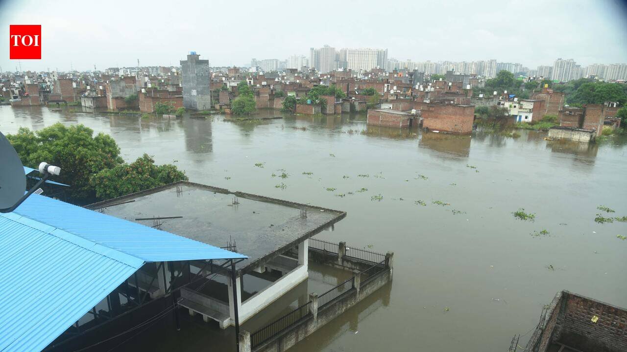
Noida: Noida Authority has set up a five-member committee to study a proposed Rs 29,000-crore riverfront project along 25km of Hindon. The plan aims to partially straighten the meandering river, restore it to its original course and use the reclaimed land for roads, green belts and commercial development.The committee, tasked to submit its report within 15 days, will examine the river’s flood patterns over the last 100 years, changes in its course and embankment, and identify areas where the river has deviated due to bridge construction or encroachment along the floodplain.The committee, comprising additional CEO Vandana Tripathi, general manager (civil) SP Singh, senior manager (work circle-1) Kapil Singh, irrigation department executive engineer Mukesh Vaish and environmentalist Abhisht Kusum Gupta, conducted a drone survey on Thursday to assess the number of households along the riverbank and map pollution sources entering the river.The plan does not involve concretising the riverbanks. Instead, it proposes restoring Hindon to its original path by nearly tripling its width. The riverstream, which currently ranges between 20 and 50 metres wide, would be given a 150-metre corridor lined with forest belts and embankments on either side. Six-lane roads would run along both embankments, cutting the distance between NH-24 and Noida Expressway by around 15km and reducing travel time from over an hour to approximately 25 minutes, a route that is expected to benefit traffic bound for Noida International Airport in Jewar.“River starts meandering when it encounters unnatural impediments on its path, and Hindon has been observed to have deviated because of bridge pillars and permanent structures built by residents on the floodplains,” said Gupta, explaining why course correction would benefit all stakeholders.Vaish said the idea was to give Hindon sufficient width to contain floodwaters without breaching its banks. “Since the plan was drawn several years ago, we may have to fine-tune it in line with orders and directives issued by the National Green Tribunal from time to time,” he said.The project would require relocating around 13,000 families and purchasing approximately 2,871 hectares of land. Rough estimates put the total expenditure — covering rehabilitation, land acquisition and construction of embankments and roads — at Rs 29,315 crore. Once complete, around 1,200 hectares of land would be available for commercial use, which is expected to offset a portion of the project cost and generate additional revenue of around Rs 16,000 crore.The Master Plan 2031 provides the framework within which the project operates. It specifies that the riverfront area — roughly 5,036 hectares of the approximately 20,316 hectares of land available for industrial development between Hindon and Yamuna — is designated for agriculture, horticulture, floriculture or recreational activities. No permanent construction is permitted within this zone.“Development of urban activities has not been proposed in more than 5,000 hectares of land situated in the riverfront area, which is basically a flood-affected area. It is proposed that areas shall be developed for recreational and tourist activities with the provision of some temporary and removable structures on 1% of a specific development project. A detailed plan of the development of riverfront areas is proposed to be prepared after a study of its environmental conditions and development potential. It is an eco-sensitive area and needs a detailed study to understand the cycle of flood occurrence, the groundwater recharge potential and requirement, the potential of reclamation, and the potential of making this area physically accessible and functional,” an order issued by Noida Authority ACEO Tripathi states.


