



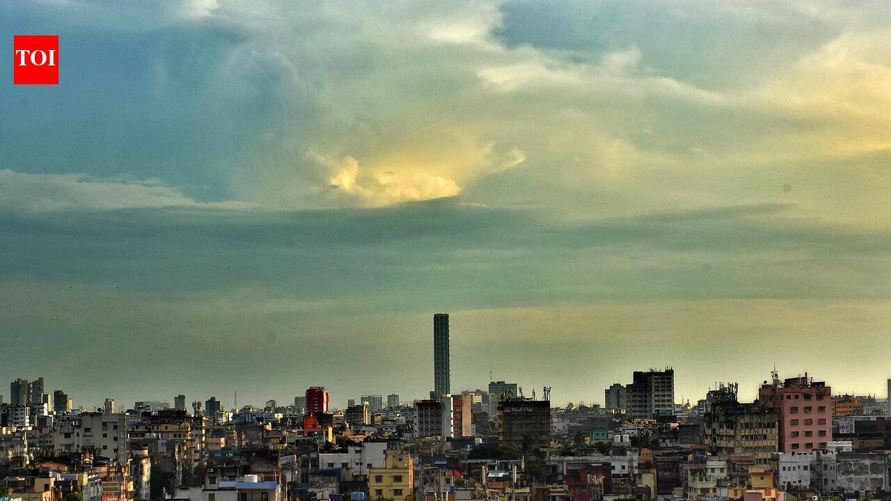
Kolkata: The low-pressure system, which originated over the Eastcentral Bay of Bengal and the Andaman Sea, advanced rapidly west-northwestwards before intensifying into a well-marked low-pressure area early on Monday. Backed by a massive cyclonic circulation extending up to 7.6 kilometres above sea level, the system is gaining strength rapidly. Meteorologists project it will concentrate into a depression over the Westcentral Bay of Bengal within twenty-four hours, escalating further into a deep depression over the next 24 hours. The system is currently tracking toward the North Andhra Pradesh and South Odisha coasts. The Bay system is set to hit land between Visakhapatnam and Gopalpur as a deep depression during the night of Sept 23 or early on Sept 24As this atmospheric disturbance pushes closer, south Bengal and Kolkata are bracing for a sharp deterioration in weather conditions over the next forty-eight hours. Widespread light to moderate rain and thundershowers are expected in the region, including Kolkata, between Tuesday morning and Wednesday.The heaviest downpours are predicted in coastal zones, with a heavy rain alert of 7 to 11 cm issued for isolated places in South 24 Parganas, East Midnapore and West Midnapore. Kolkata may simultaneously experience frequent thunderstorms, lightning strikes and sudden squalls with gusty surface winds peaking between 30 and 40 kilometres per hour.The impact is scheduled to intensify significantly during the second phase, lasting until the morning of Sept 23. Rainfall will become near-universal across South Bengal, with the heavy rain zone expanding further across the core districts of South 24 Parganas, East Midnapore and West Midnapore. Alongside the heavy precipitation, the atmospheric instability will peak, triggering severe weather warnings for intense lightning and dangerous gale-force winds reaching speeds of 40 to 50 kilometres per hour in these primary impact zones. While the coastal belt bears the brunt of the storm, Kolkata and the remaining interior districts will remain under high alert for continuous thunderstorm activity, dangerous lightning and persistent gusty winds holding steady at 30 to 40 km/hour.
