



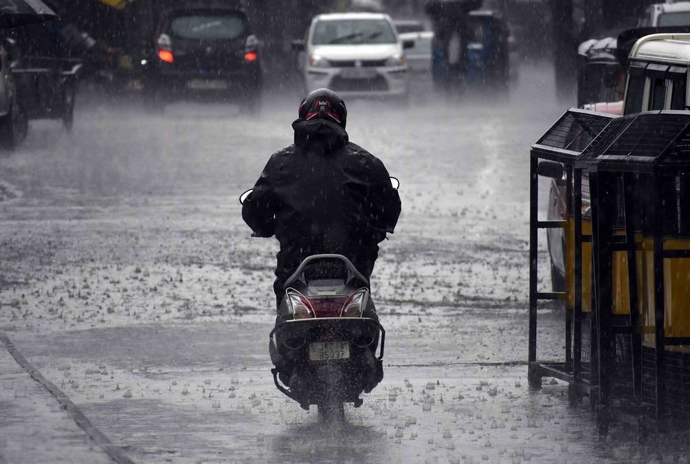
Srinagar, Jul 18: Jammu and Kashmir is bracing for a prolonged spell of intense weather, with the Meteorological Department forecasting widespread rain, heavy downpours and the possibility of cloudburst-like events between July 19 and July 23, prompting authorities to issue an advisory for residents, pilgrims and tourists.
According to the weather advisory issued by the MeT department Srinagar, the extended wet spell is likely to be triggered by a rare interaction between moisture-laden winds from both the Arabian Sea and the Bay of Bengal, coupled with the northward shift of the western end of the monsoon trough towards Jammu.
The weather system is expected to bring widespread moderate rain and thundershowers across Jammu and Kashmir, with isolated heavy rainfall in Kashmir division between July 21 and 23. The Jammu division is likely to witness scattered heavy to very heavy rainfall from July 20 to 23, with Reasi and Udhampur districts facing the highest risk of extremely heavy downpours.
Director, Meteorological Centre Srinagar, Dr Mukhtar Ahmad, said the approaching weather system has the potential to trigger multiple weather-related hazards across the Union Territory.
“We expect widespread rainfall activity during the next five days. Some places, particularly in Jammu division, may receive heavy to very heavy rainfall, while isolated heavy showers are also likely in parts of Kashmir. People are advised to follow official advisories and avoid unnecessary travel to vulnerable areas during periods of intense rainfall,” he said.
The advisory warned that the intense rainfall may trigger flash floods, landslides, mudslides, shooting stones and cloudburst-like events, particularly along the Pir Panjal range and other mountainous areas.
The vulnerable stretches identified by the MeT Department include Anantnag, Pahalgam, Kulgam, Shopian, Pir Ki Gali, Gulmarg, Sonamarg–Zojila axis, Bandipora–Razdan Pass and Kupwara–Sadhna Pass, where landslides and slope failures cannot be ruled out.
Officials said the weather system could also lead to temporary disruption of traffic on the Jammu–Srinagar National Highway and other roads passing through middle and higher reaches due to landslides and shooting stones.
The advisory further warned of a significant rise in water levels in rivers, streams and sub-basins, increasing the chances of waterlogging and localized flooding in low-lying areas.
Director, Meteorological Centre Leh, Sonam Lotus said the changing weather pattern reflects a stronger monsoon influence over the western Himalayan region.
“The interaction between monsoon moisture and western weather systems is enhancing rainfall activity across the region. People travelling through mountainous areas should remain alert, particularly in view of the possibility of localized heavy rainfall,” he said.
Authorities have advised tourists and travellers to plan their journeys carefully and stay updated with official weather bulletins. Pilgrims undertaking the ongoing Amarnath Yatra have also been urged to follow advisories issued by the administration and security agencies.
The MeT Department has also advised people living in higher reaches to avoid venturing into landslide-prone slopes during the wet spell.
Farmers have been asked to postpone fertiliser application and chemical spraying until the weather improves, while residents have been cautioned against visiting rivers, streams and other flood-prone areas during heavy rainfall.
The forecast also indicates that the prolonged spell of rain will bring a marked fall in daytime temperatures, ending the recent spell of intense heat and providing much-needed relief across much of Jammu and Kashmir.
With the Union Territory entering one of the most active weather phases of the season, authorities have urged the public to remain vigilant, avoid unnecessary travel during peak rainfall periods and strictly follow safety advisories issued by the administration.


