


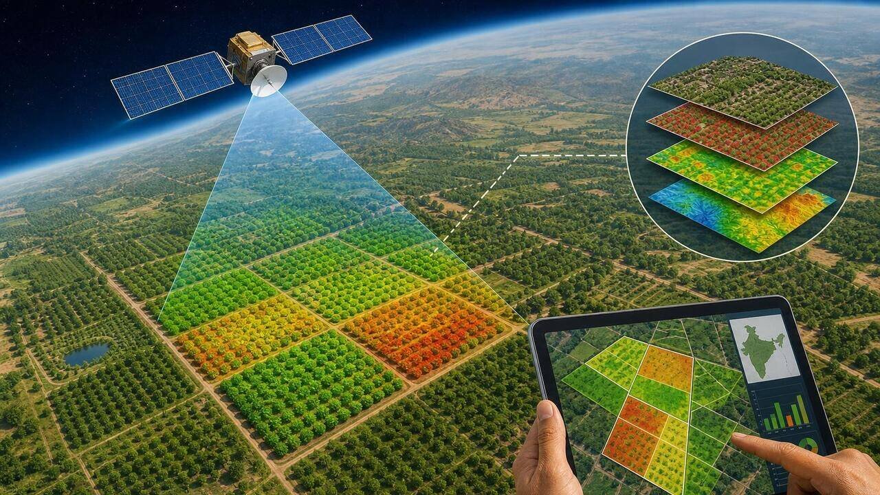
Pune: The state agriculture department has decided to deploy remote sensing technology and digital crop surveys to verify orchards under its horticulture crop insurance plan.The decision follows repeated complaints and enquiries into irregularities in the state’s fruit crop insurance programme, where claims were allegedly made for non-existent orchards or for orchard areas larger than those actually cultivated. In recent years, such claims ran into crores of rupees.The plan is to tighten scrutiny and ensure compensation reaches genuine farmers. It will be implemented in talukas reporting over 500 insurance claims or applications.“It will enhance transparency in orchard verification and strengthen the credibility of the insurance programme,” Vinaykumar Awate, director of agriculture (planning and process), told TOI.Officials said the introduction of satellite-based verification is expected to significantly improve transparency and reduce human intervention in the claim assessment process.“Under the revised system, farmers applying for insurance coverage will be required to undertake digital crop surveys and geo-tag their orchards. The area declared in the insurance application will be cross-verified with digital records and satellite imagery. In cases where discrepancies are found, the area recorded through the digital crop survey system will be treated as the final eligible area for insurance coverage,” a senior official from the state agriculture department said.“If remote sensing data suggests that an orchard does not exist on the insured plot, the concerned farmer will first be issued a notice seeking clarification. Agriculture officials and insurance company representatives will then carry out a physical inspection before taking a final decision on the claim. Failure to respond to the notice could lead to cancellation of the insurance application,” the official added.Officials said the state had earlier piloted remote sensing technology for orchard verification in parts of Jalgaon district during the 2022-23 and 2025-26 seasons. Based on the experience and growing concerns over fraudulent claims, the agriculture department has decided to expand the use of the technology.Farmer groups and activists have welcomed the move but cautioned against excessive dependence on technology.“Bogus claims have damaged the credibility of the crop insurance scheme and deprived genuine farmers of timely compensation. Using satellite-based verification can help reduce fraud, provided farmers are allowed to challenge errors in digital records,” said farmer activist Anil Ghanwat.However, some farmers expressed concerns over possible inaccuracies in remote assessment.“Technology can help bring transparency, but remote sensing should not become the sole basis for rejecting claims. Many orchards may not be properly visible due to climatic conditions or mixed cropping patterns. Ground verification must remain an important component,” said Prakash Pawar, a pomegranate grower from Solapur district.Agriculture experts said the success of the initiative would ultimately depend on the accuracy of satellite imagery, effective grievance redressal mechanisms and the ability of authorities to balance technological verification with field-level realities.
