






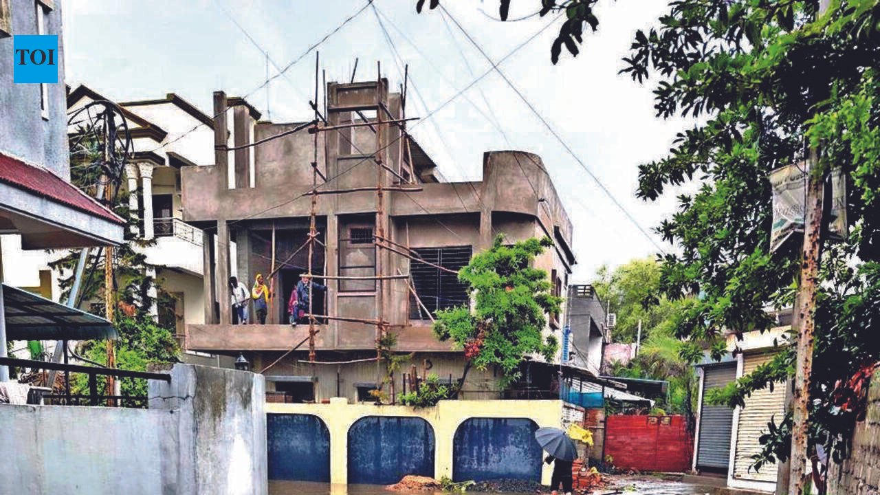
Nagpur: A zone-wise post-flood assessment by Nagpur Municipal Corporation (NMC) has exposed glaring deficiencies and infrastructure bottlenecks that amplified flooding across the city on July 28. Debunking the notion that cloudburst-like rain alone was responsible for the waterlogging, the survey found that while the intense downpour triggered the crisis, longstanding engineering and planning shortcomings turned it into a citywide disaster.The survey, conducted across all 10 administrative zones after the record rainfall, identified a recurring pattern of low-lying terrain, clogged stormwater drains, overflowing nullahs, missing drainage infrastructure and ongoing utility works overwhelming the city’s drainage network.Low-lying topography emerged as the most widespread factor, with residential layouts below elevated roads, including the Inner Ring Road and newly developed stretches, witnessing rapid accumulation of runoff. In several localities, water receded only after pumping operations or once nullah levels dropped.Blocked and silted stormwater drains were another major cause. Surveys in Nehru Nagar, Satranjipura, Lakadganj and other zones found drains, RCC chambers and IRDP nullahs choked with silt, garbage and construction debris, severely restricting discharge during peak rainfall.A third recurring issue was the rise in nullah water levels. Overflowing nullahs prevented stormwater drains from discharging, causing backflow into residential colonies across several zones. The problem was particularly severe in Dharampeth and Ashi Nagar, where waterlogging subsided only after nullah levels receded.The assessment also exposed major infrastructure gaps. Several localities, particularly in Ashi Nagar, Lakadganj and Gandhibagh, either lacked stormwater drains or depended on ageing drainage lines incapable of handling heavy rainfall. Engineers have proposed new drainage lines, RCC chambers and road-level corrections, with estimates ranging from a few lakh rupees to over Rs15 lakh at several locations.Ongoing infrastructure projects also contributed to flooding. In Laxmi Nagar, utility works by agencies including the World Bank division and DPDC disrupted drainage at several locations, while Hanuman Nagar reported that unscientific installation of interlocking blocks obstructed natural runoff in nearly 20 localities.Road conditions also emerged as a recurring contributor. Across several zones, kutcha roads, uneven interlocking blocks and disturbed carriageways impeded runoff, while damaged drainage chambers reduced drainage efficiency. Lakadganj and Mangalwari were among the areas where such deficiencies were identified.The survey concludes that the flooding resulted from multiple interconnected failures rather than a single cause. While officials have proposed new drains, pump houses and desilting measures, the findings underline that improving Nagpur’s flood resilience will require addressing longstanding engineering deficiencies while strengthening preparedness for increasingly intense rainfall.NMC’s Zone-Wise Flood SurveyLaxmi Nagar ZoneHotspots: Somalwada & Ujjwal Nagar underpasses, Padole Chowk, Gopal Nagar, Maratha NagariMain causes: Low-lying areas, poor drainage, overflowing nullahs, ongoing utility works, collapsed nullah wallsAction proposed: Pumping, sandbags, new stormwater drainsDharampeth ZoneHotspots: Friends Colony, Vastushilpa Colony, KT Nagar, Ambazari LayoutMain causes: Rising nullah levels leading to backflowAction proposed: Existing drains to be monitored; water recedes after rainfall intensity dropsHanuman Nagar ZoneHotspots: Around 20 localities in Prabhags 29, 31, 32 and 34Main cause: Unscientific I-block installation obstructing natural runoffAction proposed: Correct road and drainage designDhantoli ZoneMain issues: Low-lying pockets and inadequate drainage at select locationsAction proposed: Drainage improvementsNehru Nagar ZoneHotspots: Yogeshwar Nagar, Nandanvan Slum, Yasmin PlotMain causes: Choked stormwater drains and low-lying terrainAction proposed: Desilting, pumping and road-level correctionGandhibagh ZoneHotspots: Bhankheda, Shivaji Nagar, Jyoti Nagar, Mominpura, Gangabai Ghat RoadMain causes: Old, dilapidated drainage lines and low-lying areasAction proposed: New drainage linesSatranjipura ZoneHotspots: Kanji House Chowk, Vitabhatti Chowk, Mahendribagh RoadMain causes: Choked IRDP nullahsAction proposed: Nullah cleaning and new drainage linesLakadganj ZoneHotspots: Bharatwada Road, Punapur, Hiwari Nagar, CA RoadMain causes: Missing drains, kacha roads, uneven interlocking blocks and blocked outletsAction proposed: Temporary drains and permanent drainage proposalsAshi Nagar ZoneHotspots: Nari Road, Barakholi Road, Tipu Sultan Chowk, Devi Nagar and several railway underbridgesMain causes: Absence of drainage network, nullah overflow and low-lying areasAction proposed: New drainage lines and coordination with RailwaysMangalwari ZoneHotspots: Sai Mandir Road, Hudco Colony, Jaripatka Police Station, Somwar PethMain causes: Low-lying terrain near Inner Ring Road and overflowing nullahsAction proposed: RCC chamber replacement and improved drainageKey findings across all 10 zonesLow-lying topography emerged as the biggest reason for flooding.Choked stormwater drains and silted nullahs were the second major cause.Overflowing nullahs caused backflow into drainage networks.Missing or ageing stormwater infrastructure worsened flooding.Ongoing road and utility works also affected natural water flow in several localities.


