



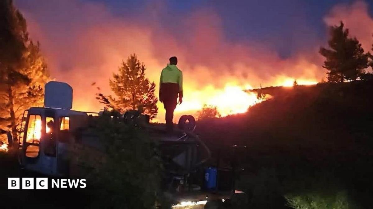
Sandy McCook, chairman of Nethy Community Council, said he had witnessed “major flare-up” on Mam Suim, Craig nan Gall and into Strath Nethy on Thursday evening.
He said: “The wind has picked up considerably and turned to a more westerly direction driving the fire eastwards.
“Let’s hope for a drop in the wind and sufficient rain in the coming days to really make a difference.”
The Cairngorms National Park covers 1,748 sq miles (4,527 sq km) and includes parts of five local authorities – Aberdeenshire, Angus, Highland, Moray and Perth & Kinross.
Closed and restricted areas include paths around Glenmore, Loch Morlich and Badaguish, as well as low-level routes including the Old Logging Way and routes providing access to Cairngorm Mountain, the Northern Corries, Meall A’ Bhuachaille, the Green Loch (Lochan Uaine), Strath Nethy or Bynack More.
Paths within Abernethy Forest to the south of Forest Lodge towards Ryvoan Bothy also remain closed.


