






“Some of that will be incredibly quick, some of it will take years, decades, or even beyond our lifetime,” she says.
“It will recover, but we just don’t know what that’s going to look like yet.”
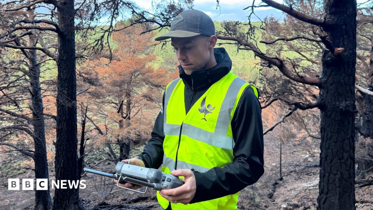
And the drones that helped during the fire – and are still searching for what remains of it – are being given another job.
Pete is programming them to repeatedly fly exactly the same routes over the damaged landscape.
Using predetermined waypoints, photographs and video can be taken from the same positions month after month and year after year, allowing conservationists to build up a picture of how the landscape changes.
“This standard drone route will have exactly the same route flown month by month, year by year and visually it’s going to give us some amazing information about how it’s recovering,” Sarah says.
There could be another role for the tech too – spotting future fires before they have a chance to spread.
Pete believes getting a view above the tree canopy quickly could prove critical.
“It’s those moments before a wildfire gets out of control that could be critical to stopping it before it gets out of hand,” he says.
Back on the ground, our patrol has found another hot spot.
Again, there is almost nothing visible from a distance. But guided by the drone, we find the precise spot.
Beneath a thin layer of earth, it is hot and the smoke becomes obvious after we stoke the soil.
Another location to report. Another fire for the ground teams to extinguish.
Above us, the forest is already showing its first signs of life but below our feet, the last of the fire is still burning.


