



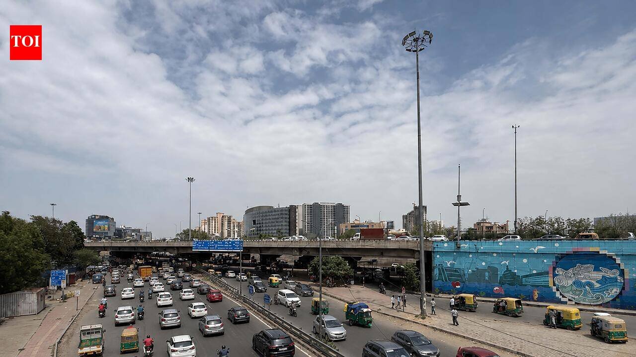
Gurgaon: The city is likely to witness generally cloudy skies with light to moderate rain over the next few days before monsoon activity intensifies across Haryana from July 28, when the India Meteorological Department (IMD) has forecast a fresh spell of widespread rainfall accompanied by heavy to very heavy showers at isolated places. The active weather is expected to keep daytime temperatures below normal while increasing humidity levels.According to the IMD’s meteorological centre in Chandigarh, light to moderate rainfall is likely at many places across Haryana from July 28 to 30. Before that, rainfall activity is expected to remain scattered, with showers at a few places on July 24, 25 and 27 and isolated rainfall on July 26. The weather office has forecast heavy rainfall at isolated places on July 24, 25, 27 and 30, while heavy to very heavy rainfall is likely at isolated locations on July 28 and 29 as monsoon systems strengthen over northwestern India.For Gurgaon, the IMD has forecast generally cloudy skies with the possibility of light to moderate rain or thundershowers over the next few days. While widespread heavy rainfall is not expected immediately, rainfall activity is likely to pick up from July 27 before intensifying on July 28, when Gurgaon is among the districts placed under a heavy rain alert. Panchkula, Ambala, Yamunanagar, Kurukshetra and Karnal are likely to receive heavy to very heavy rainfall on July 28 and 29, while Gurgaon, Faridabad, Palwal, Rewari, Jhajjar, Mahendragarh, Rohtak, Sonipat, Panipat, Kaithal and Charkhi Dadri are expected to receive heavy rainfall at isolated places.The city’s minimum temperature settled at 26.2 degrees Celsius on Friday, close to normal for this time of the year, while the maximum temperature reached 31.8 degrees Celsius at the IMD’s Automatic Weather Station (AWS). Other monitoring stations recorded a maximum of 32.2 degrees Celsius at Gurgaon KVK and 33.5 degrees Celsius at NorthCap University. No rainfall was recorded at the Gurgaon AWS during the period, though NorthCap University received 1 mm of rain.Across Haryana, the average minimum temperature dipped marginally by 0.1 degree Celsius compared with Thursday and remained near normal. The state’s lowest minimum temperature of 23 degrees Celsius was recorded at Narnaul. During the day, Ambala recorded the state’s highest maximum temperature at 35.6 degrees Celsius, while several districts received light rainfall, including 19 mm in Fatehabad, 17 mm in Rohtak, 8.5 mm in Narnaul, 5.5 mm at Rohtak Canal Rest House, 4.5 mm at Balasmand in Hisar, 3.7 mm in Hisar, 3.5 mm at Pandu Pindara in Jind and 2.5 mm in Charkhi Dadri.The active weather is being driven by a trough extending from a low-pressure area over southeast Rajasthan to Jammu across west Rajasthan, Haryana and Punjab. In addition, a western disturbance persists as a cyclonic circulation over Jammu and adjoining areas, creating favourable conditions for enhanced monsoon activity over Haryana during the coming week.Weather officials have advised residents to remain cautious during thunderstorms and brief spells of intense rain, which could lead to traffic congestion and localised waterlogging in low-lying areas. With monsoon conditions expected to remain active through the end of the month, periodic rainfall is likely to keep daytime temperatures under check while maintaining high humidity across the state.


