


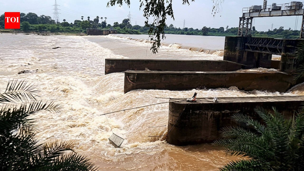
Bhubaneswar: The govt on Monday warned a ‘small or medium-level’ flash flood threat in river Baitarani following the low pressure-induced heavy rainfall in the state over the past 3 to 4 days. Chief engineer of the water resources department, Dilip Kumar Rout, said Jajpur and Bhadrak districts are likely to be affected due to this flood, with river water level expected to cross the danger mark at Akhuapada.Rout clarified that there was no trouble in any other rivers as major reservoirs were largely empty compared to their capacity. The chief engineer said they were closely monitoring the river water level situation and would take steps after a review.In a related development, the Hirakud reservoir would release first flood water of the season on July 9. The proposed release of water would lead to rise in water level in river Mahanadi and its branches, said a govt release, and cautioned people at its catchments to remain alert.Revenue minister Suresh Pujari asserted there was no alarming situation anywhere. He said the govt was prepared to handle any trouble. Pujari added the state was in need of a good rainfall to boost agricultural activity in the state.IMD rainfall at morning shows Sonepur recorded highest 328.4 mm rainfall in last 24 hours in the state. It was one among 12 places spread over six districts in the state which received extremely heavy rainfall from 204.5 mm and above.Similarly, 24 places spread over 11 districts received very heavy rainfall from 120 mm and above. Besides, 37 places in different districts received heavy rainfall of 120 mm, the IMD bulletin said.IMD rainfall report at evening shows Jharsuguda recorded highest 55.4 mm rainfall during the day. Bargarh followed with 52.4 mm rainfall.Head of regional IMD centre Manorama Mohanty said following heavy rain, seasonal rainfall in state touched 22% excess by Monday. She said only three — Sundargarh, Kalahandi and Nabarangpur – of total 30 districts in the state come under seasonal deficit rainfall category now.Mohanty further forecast that rainfall activity in the state would decrease from July 8 to 12 with chances of isolated rainfall. Sunday’s depression over south Jharkhand and adjoining north interior Odisha would continue to move north-westwards further across Jharkhand, North Chhattisgarh and adjoining east Madhya Pradesh during next 24 hours, an IMD bulletin said.
