


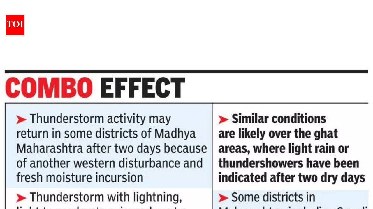
Pune: A fresh spell of rain and gusty winds are likely in parts of the state from Monday, preventing a sharp rise in day temperatures next week.According to India Meteorological Department (IMD)’s latest district-level forecast, maximum temperatures are expected to rise by 2-4°C over Konkan, Madhya Maharashtra and Marathwada over the next two days, while minimum temperatures may increase by 2-3°C during the next 24 hours. Maximum temperatures may rise by 3-5°C during the next five days in Vidarbha before stabilising, while minimum temperatures are likely to remain largely unchanged.IMD scientist SD Sanap said the earlier favourable conditions for thunderstorms had weakened and there would be a temporary rise in temperatures in the next couple of days. “The easterly trough bringing moisture has weakened and the western disturbance influence has reduced, so temperatures will rise for the next couple of days. Model guidance shows another western disturbance and fresh moisture incursion. Thunderstorm activity may return in some districts of Madhya Maharashtra after two days because of these,” he said.Sanap said temperatures in Pune were not expected to rise sharply. “We are not expecting very high day temperatures over the next four to five days. Values should remain close to normal, and pre-monsoon showers may occur in isolated pockets, which can cause local variations even within the same district,” he said.According to the IMD forecast, thunderstorm activity with lightning, light to moderate rain and gusty winds of around 30-40kmph are likely in parts of Madhya Maharashtra, including Pune, Satara, Sangli and Solapur districts, around March 23-24. Similar conditions are likely over the ghats areas, where light rain or thundershowers have been indicated after two dry days.The forecast shows that some districts in Maharashtra, including Sangli and Solapur, have higher chances of thunderstorms on multiple days, with winds reaching up to 40-50kmph at isolated locations.IMD officials said such brief spells of pre-monsoon rain were typical during March, when western disturbances and easterly troughs interact to bring moisture into the region, leading to isolated thunderstorms rather than widespread rainfall.


