


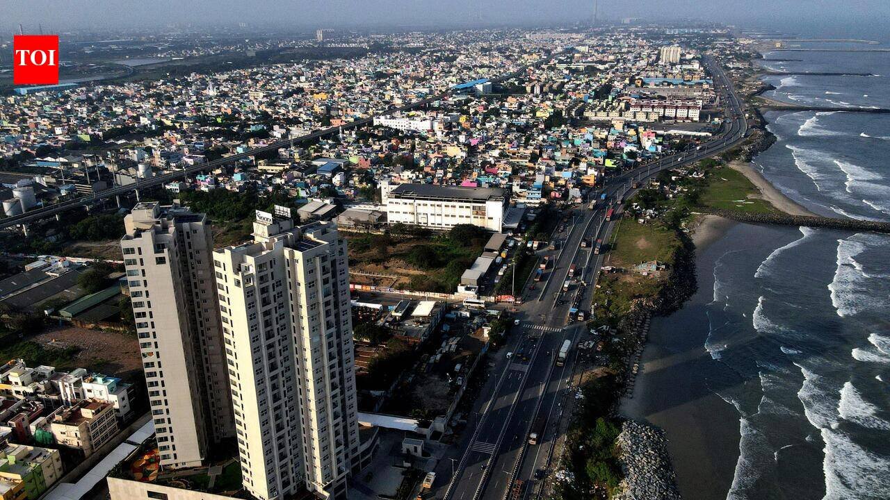
Porur, Maduravoyal, Kodungaiyur, Chepauk, Chennai airport, and Panaiyur are sinking by up to 15mm a year, a new study has found. The authors attribute this to a gradual compression of soft clay, silt, and sand beneath the ground, local geological conditions and urban infrastructure loading.The worst subsidence was recorded across an 18sqkm stretch between Porur and Maduravoyal. Combined with sea-level rise and cyclone-driven storm surges, it is expected to sharply increase flood risk in low-lying neighbourhoods such as Sholinganallur, Sithalapakkam, Adyar, Tondiarpet and the ECR.Under the worst climate scenario, inundation could exceed 140sqkm by 2100, affecting 98.5lakh people, up from 24.5lakh in 2030, and property worth more than $100million. With storm surges, inland localities such as T Nagar and Madhavaram could also face flooding.The study found that land subsidence is occurring up to five times faster than the city’s sea-level rise of about 2.8mm.“These findings show that even moderate subsidence can substantially amplify coastal flooding and socioeconomic exposure, highlighting the importance of incorporating vertical land motion (VLM) and geological context into coastal hazard assessments,” said corresponding author Arpan Shastri.Published in Scientific Reports, the study by researchers from IISER Mohali analysed 223 Sentinel-1 satellite radar images (2016–2024), along with three decades of tide-gauge and satellite altimetry data, elevation maps, population and infrastructure datasets, and IPCC climate projections to model inundation for 2030, 2050 and 2100.While earlier studies showed over-exploitation of aquifers triggered land subsidence, the data monitored by the researchers show groundwater levels have remained stable or risen in recent years, indicating that ongoing groundwater decline is not the dominant cause of current land subsidence.Porur (15 mm/year), Maduravoyal (13 mm/year), and Kodungaiyur (10 mm/year) were identified as the fastest-sinking areas. Chennai airport is subsiding at 3mm–10 mm annually, while Chepauk and Panaiyur recorded 3mm–8mm. A slight annual uplift of 2mm–4mm was observed in Perambur and Palavakkam, though the exact cause requires further monitoring.“Inundation simulations for 2030, 2050, and 2100 under SSP2–4.5 and SSP5–8.5 show two consistent patterns: gradual VLM-amplified relative sea-level rise accelerates chronic coastal flooding, while storm surges drive abrupt, spatially extensive inundation, with small elevation differences controlling local exposure,” said co-author Chandrakanta Ojha.The researchers recommended integrating land subsidence into coastal planning, strengthening drainage, protecting wetlands and mangroves, regulating development, and continuously monitoring ground movement. Hydrogeologist Prof S Elango said satellite studies should ideally be validated through GPS and field surveys.“Land subsidence is a slow and irreversible process. Once the land sinks, it cannot be brought back to its original level. If it is happening, urban planning has to take it into account, and measures should be taken to minimise further subsidence,” he said, and added that Bangkok, Beijing and parts of California have experienced similar subsidence.
