



New Delhi

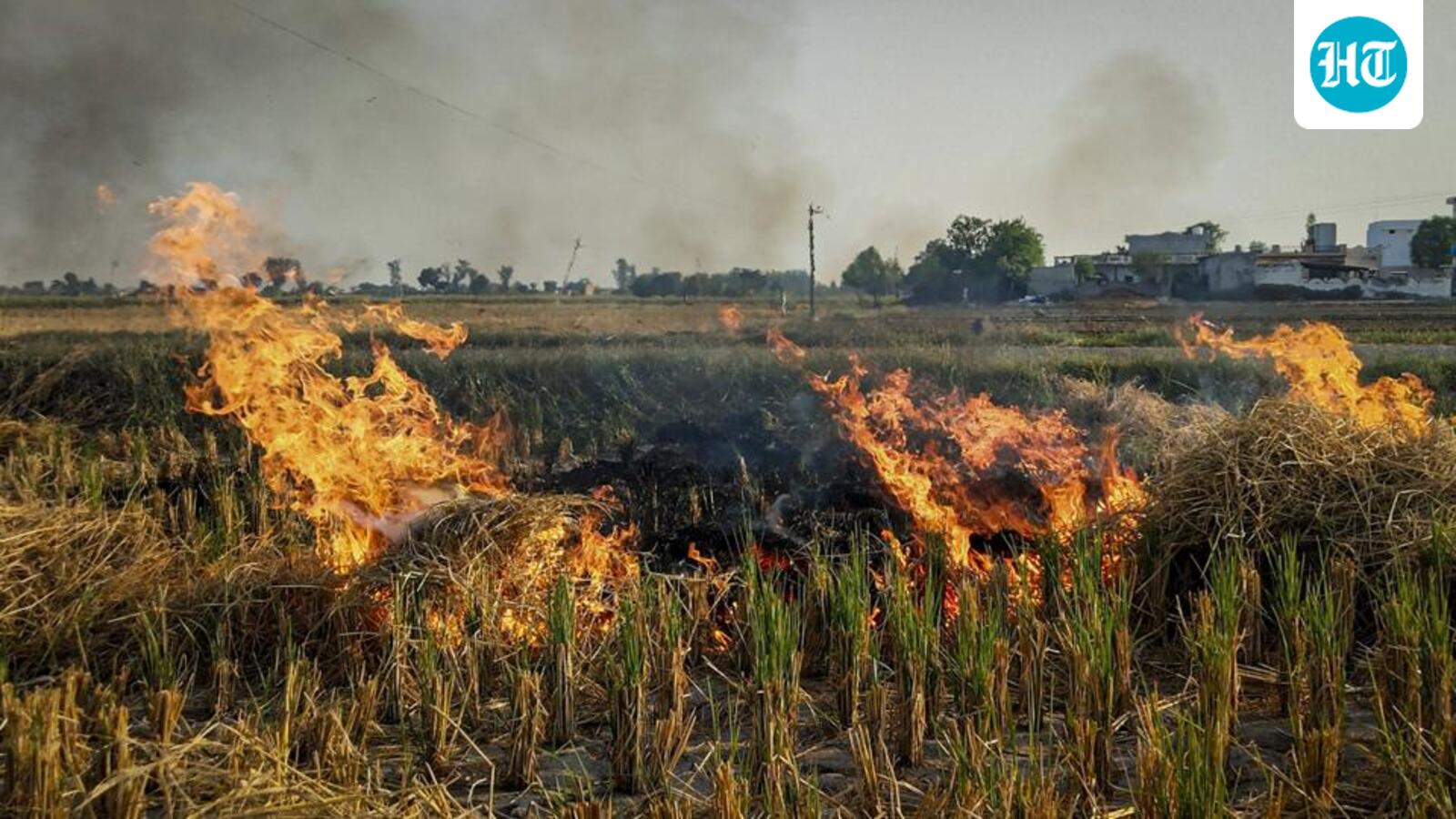
The Commission for Air Quality Management (CAQM) in National Capital Region and Adjoining Areas has asked the Indian Space Research Organisation (Isro) to improve accuracy in analysing burnt areas with regard to stubble burning, and differentiate between “high”, ”medium” and “low” intensity fires by making changes to its methodology and models, officials aware of the matter said.
A CAQM official said that at present, the model cannot differentiate between larger farm fires and a smaller, localised fire, and the same can help it accurately gauge the emissions through stubble burning.
The official, who did not wish to be named, said, “Since the end of the previous winter, we have been in talks with Isro to improve the accuracy of the model used to calculate burnt area for crops. The satellites and models used presently cannot differentiate between the nature of fire, whether it is a large fire or a small localised fire.”
Isro did not respond to HT’s request for comment until the time of the report going to print.
The official said that similar to the way in which emissions from BS-6, BS-4 and BS-3 vehicles vary sharply, so do the emissions from different fire types. “Once we know if it is a low, medium or high intensity fire, we can calculate the emissions also arising through stubble burning,” the senior CAQM official said.
A standard protocol for estimation of crop residue burning events using satellite data was developed by Isro in consultation with state remote sensing centres and the Indian Agricultural Research Institute (IARI) in August 2021.
Air quality in Delhi-NCR starts worsening from mid-September, with stubble burning the usual precursor to winter pollution. Instances of stubble burning are usually logged from September 15 to November 30. IARI, through its CREAMS laboratory, publishes the daily fire event data for Haryana, Delhi, Punjab, Uttar Pradesh, Madhya Pradesh and Rajasthan, based on this protocol.
However, the data being generated, particularly the fire counts, has been in question, with several studies noting that farmers were burning fields late in the evening to avoid being captured by satellite imagery. India’s polar orbiting satellites complete their overpass and capture crop burning incidents typically between 10.30am and 1.30pm.
For the first time, CAQM has mandated the use of drones to capture such instances, particularly later in the day, between 3pm and 9pm, issuing a detailed standard operating procedure (SOP) at the end of July. Punjab, Haryana, Uttar Pradesh and Rajasthan have all been asked to use drones in the upcoming winter season to detect crop burning in real time, particularly at hotspots.
The SOP also calls for states to maintain a central database of all drone-captured videos until at least three months after the harvesting season.
Another official said that while drones will be used to capture real-time stubble burning cases, it will also help tally with the burnt area satellites are recording. “Our burnt area is also not very accurate currently. So we have asked them to provide a differentiation between types of fires, while ensuring the burnt area figures are closer to reality. This will help in better planning and mitigation ahead,” the official said.
Last winter, Punjab clocked 5,114 fires, down from 10,909 in 2024; Haryana clocked 662 farm fires, down from 1,406 a year earlier.


