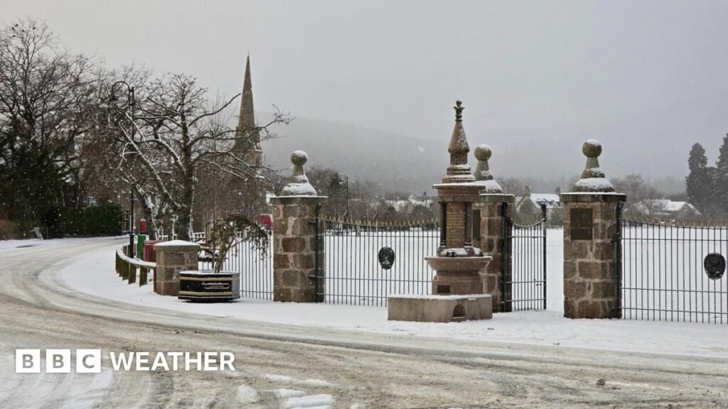
The lowest temperatures first thing are expected across parts of eastern Scotland. Whist Tuesday saw lows in the Highlands down to -7.2C (19F), Wednesday morning could be even colder at around -8C (18F) or -9C (16F).
However, a sub-zero start to the day is also expected in many other areas including central and northern England, north Wales and Northern Ireland.
Many places will be dry first thing, but the weather is set to turn much more unsettled during the day. Low pressure approaching from the south-west will bring rain initially to Northern Ireland in the early morning, which will then spread into western parts of England and Wales.
As the rain bumps into cold air, it will increasingly turn to sleet and snow across Wales and later on into parts of Gloucestershire, Oxfordshire and the West Midlands.
There could be around 2-5cm of snow fairly widely, and up to 10-15cm over the highest ground in Wales, Herefordshire and Shropshire. This is likely to lead to some travel disruption and potential power cuts.
The more widespread UKHSA cold alert, external covers all of England except for London and the South East.
This warns of the risk of minor impacts on health and social care services. Vulnerable people in particular may be affected by this spell of colder weather, with increased use of healthcare services and an increased risk to life.
