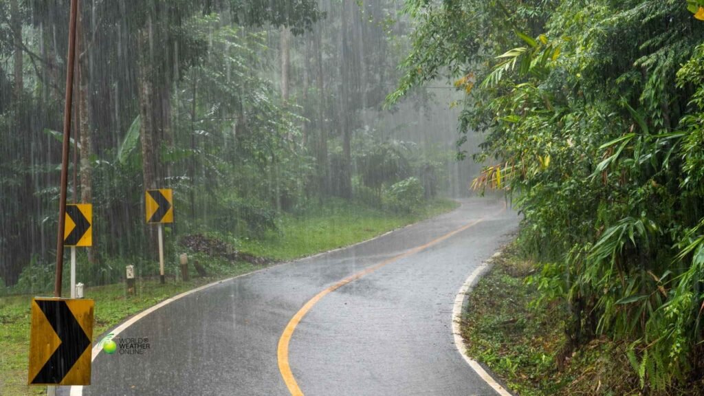
According to the latest climate predictions, the La Niña Advisory remains in effect. Forecasters indicate a likely transition to ENSO-neutral conditions during February to April 2026, with roughly a 60% probability.
This significant transition may continue through the Northern Hemisphere summer if ocean temperatures in the central and eastern Pacific continue moderating. Yet, the end of La Niña in the ocean does not mean an immediate end to flood risk on land.
In several regions across Africa and the Americas, flood hazards remain elevated. This is not due to the lingering atmospheric patterns, but due to landscapes that are already saturated from repeated rainfall events.
La Niña Is Fading But Its Footprint Remains
La Niña refers to cooler-than-average sea surface temperatures in the central and eastern equatorial Pacific. These temperature anomalies influence global atmospheric circulation, shifting jet streams and altering rainfall patterns thousands of kilometers away.
While current ocean temperature anomalies have weakened compared to peak conditions, atmospheric coupling, the wind and pressure systems that amplify rainfall in certain regions, can lag behind the ocean’s transition.
The World Meteorological Organization has also indicated increasing odds of ENSO-neutral conditions this spring, but emphasizes that regional impacts can persist during transition phases.
In practical terms, even if the Pacific returns to “neutral,” the hydrological consequences of La Niña can continue.
Why Flood Risk Lingers During Transition
There are three primary reasons flood risk remains elevated even as La Niña weakens:
1. Saturated Soils
Months of above-average rainfall leave river basins primed for flooding. When the ground is already saturated, even moderate rainfall can trigger river overflows or flash floods.
2. Seasonal Alignment
In most parts of the Southern Hemisphere, La Niña has coincided with the core of the rainy season. Seasonal monsoon dynamics can maintain high rainfall totals regardless of ENSO shifts.
3. Warmer Atmosphere, Heavier Bursts
While ENSO drives large-scale patterns, background warming trends can intensify short-duration rainfall events, increasing runoff efficiency.
The result is a lag effect with flood risk remains high even if La Niña itself is losing strength.
Regions Where Flood Risk Stays Elevated
Southern & Eastern Africa
Global hazard outlooks continue to flag parts of southern Africa as vulnerable to flooding. Countries including Mozambique, Malawi, Zambia, Angola, and Botswana have experienced repeated heavy rainfall episodes this season.
In some river basins, above-average rainfall has compounded earlier storm impacts, increasing displacement risk and infrastructure damage.
Floods in this region are often linked to a combination of:
- Moisture convergence from the Indian Ocean
- Slow-moving tropical disturbances
- Saturated catchments from prior rainfall
Even as ENSO shifts toward neutral, the rainy season remains active in parts of southern Africa through late summer.
Southern Central America
Flood risk also remains elevated across portions of southern Central America, where terrain amplifies rainfall impacts.
Mountainous topography combined with short, fast-responding rivers increases flash-flood potential. During La Niña years, enhanced rainfall can raise soil moisture levels well above seasonal averages, leaving communities vulnerable even to routine tropical disturbances.
When multiple rainfall systems track over the same region in short succession, a pattern sometimes called “training storms”, river basins can exceed flood thresholds quickly.
Northern South America (Western Colombia)
Hazard monitoring systems have also identified western Colombia and adjacent areas as continuing flood-sensitive zones.
This region’s complex terrain, with Andean slopes draining into densely populated valleys, makes it particularly responsive to sustained rainfall.
La Niña typically enhances precipitation across parts of northern South America, and while ocean signals are weakening, residual moisture patterns remain active.
What to Watch in the Coming Weeks
If you are tracking the flood risk, several indicators matter more than the ENSO label itself:
- River level trends in major basins
- Multi-day rainfall forecasts, especially slow-moving systems
- Soil moisture anomalies
- Tropical cyclone remnants interacting with seasonal rain bands
A weakening La Niña reduces large-scale steering influence, but localized weather systems still determine flood outcomes.
What Happens If ENSO-Neutral Takes Over?
Credible projections suggest ENSO-neutral conditions could persist through mid-2026 if the transition completes as expected.
Neutral simply means the Pacific is no longer strongly biasing global rainfall patterns in either La Niña or El Niño directions.
Regional flood risk will then depend more heavily on:
- Seasonal monsoon cycles
- Tropical cyclone activity
- Subtropical jet stream shifts
- Local land-surface conditions
In other words, flood risk becomes more weather-driven than ENSO-driven, but not necessarily lower.
The Bottom Line
La Niña may be losing strength in the Pacific, but its hydrological legacy is still unfolding.
Across southern Africa, parts of Central America, and northern South America, flood risk remains elevated due to saturated soils, seasonal rainfall alignment, and lingering atmospheric patterns.
For communities in these regions, the calendar matters less than the ground beneath their feet. The ocean may be transitioning toward neutral, but the rivers are not there yet!
