


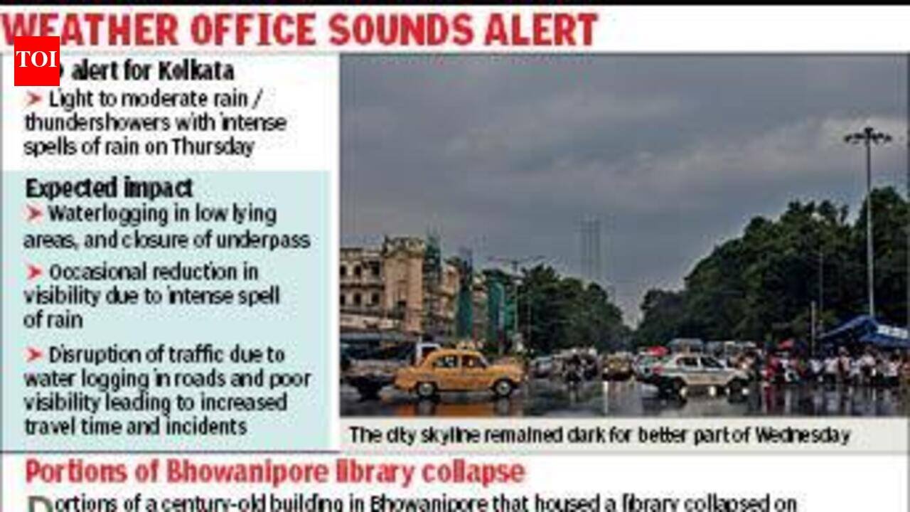
Kolkata: A cloudy sky, followed by sharp spells of rain towards evening, marked the onset of more rainfall that the city is expected to receive over the next few days. A low-pressure area, along with the monsoon trough, is likely to trigger heavy rain in Kolkata and other parts of coastal Bengal. The Met officials said the system has the potential to intensify into a depression.While low-pressure areas had formed over the Bay of Bengal on at least two recent occasions, Odisha bore the maximum impact both times. Regional Meteorological Centre (RMC), Kolkata, said the system is likely to affect coastal Bengal this time because of its proximity to the region.“This low-pressure area is likely to trigger heavy rain in Kolkata till Thursday evening, during which some spells could be intense and the cumulative rain count could go up to 200mm. This time, the system is expected to move along coastal Bengal and significantly impact some districts,” said RMC Kolkata head H.R. Biswas.Met officials said the intensity of rain could be as high as 50mm in an hour and warned that it could disrupt traffic and cause waterlogging in some low-lying areas. On Monday, torrential rain flooded several pockets in and around the city.Even though the Met office is yet to predict the exact trajectory of the system after landfall, some private weather forecasters have indicated the possibility of the system passing through the city or grazing past Kolkata.“This system is also likely to gain strength and become a depression by Thursday evening. Factors like the path of the system and its speed will influence the rain pattern from Friday onwards. But the city will get more rain even after Thursday,” Biswas added.The low-pressure area formed over north Bay of Bengal, off West Bengal-Bangladesh coasts, on Wednesday morning under the influence of an upper-air cyclonic circulation.“The system is likely to concentrate into a depression and move northwestwards across Bengal and adjoining Bangladesh coasts during the subsequent 24 hours,” said a special IMD bulletin issued on Wednesday afternoon.The monsoon trough now passes through Bikaner, the centre of the low-pressure area over northwest Madhya Pradesh and neighbourhood, Satna, Daltonganj, and the centre of the low-pressure area over north Bay of Bengal off Bengal-Bangladesh coasts.“In view of the above meteorological condition, heavy to very heavy rainfall is very likely to occur at a few places, with extremely heavy rainfall at one or two places over some districts of south Bengal during the next two days. Isolated heavy to very heavy rainfall is also very likely on Aug 14 over some districts of south Bengal,” the IMD bulletin said.Other districts expected to receive heavy rain include South 24-Parganas, North 24-Parganas, Howrah, Hooghly, Bankura, Bardhaman, East and West Midnapore.
