


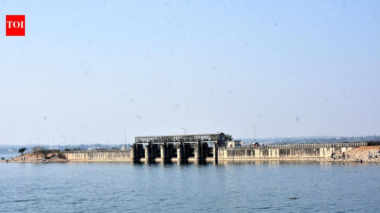
Ranchi: Heavy rain in the catchment areas of Getalsud reservoir has prompted the water resources department to warn of a sharp rise in its water level and place nearby villages on alert.Officials said the reservoir’s water level, which stood at 1,922.40 ft in mid-June, is expected to touch 1,936 ft soon. The department has directed residents to remove all unauthorised structures from the submergence area up to the reservoir’s maximum water limit.Movement within the submergence zone has been prohibited. Officials have also warned that the reservoir’s radial gates may be opened at short notice.Residents of downstream villages in the Subarnarekha catchment, which could be affected if the spillway gates are opened, have been advised to stay away from the river. Those living in low-lying areas along its banks have been asked to remain on high alert.Water resources department engineer in-chief Moti Lal Pingua said Getalsud, Tenughat and Chandil were among Jharkhand’s three high-risk dams.“The department is conducting comprehensive dam safety evaluations and preparing emergency action plans for all dams in the state,” he said.Jharkhand has 62 dams, of which 59 are managed by the water resources department and three by the drinking water and sanitation department.The safety assessments and emergency plans are being prepared under the Dam Safety Act, 2021. The law requires an independent panel of experts to examine the physical condition of dams and reservoirs. The panel will review structural, operational and maintenance data, assess hydrological, hydraulic and seismic safety, and identify risks to dam integrity.“The evaluation has to be completed by Dec. Tenders have been floated for the study of around two dozen dams, and bids for the remaining structures will be invited soon. Remedial measures will be taken wherever necessary after the reports are received,” Pingua said.The emergency action plans will identify operational risks, possible flood scenarios, vulnerable areas and warning procedures to minimise loss of life and property in the event of a dam failure.Pingua said the department was also mapping flood-prone zones along rivers across the state and preparing draft flood-zoning guidelines.
